Hasiakowa Skała, Bieszczady National Park


Facts and practical information
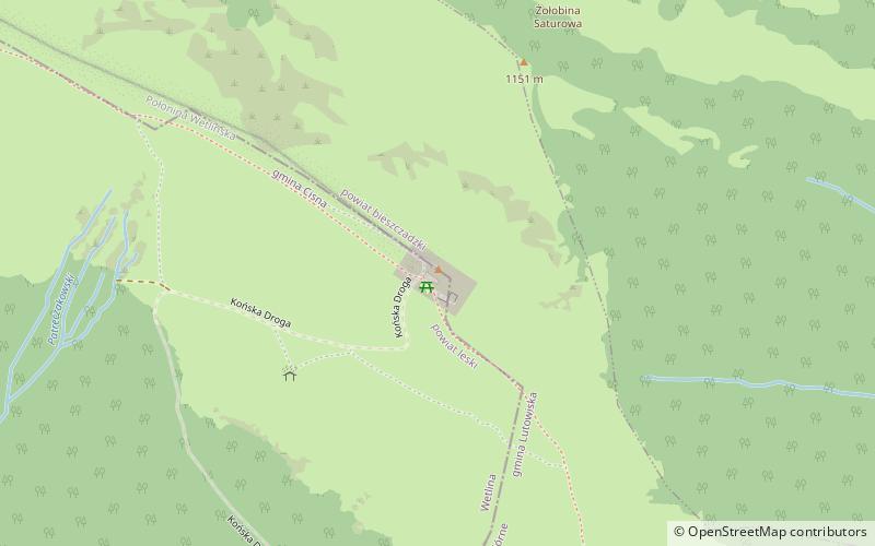
Hasiakowa Skała - the easternmost peak of Połonina Wetlińska in the Bieszczady Mountains, located north of the Wyżna Pass and west of the Prowcza Creek valley. A side ridge of Jawornik and Dwernik Kamień, extending northward from the peak to the San valley. From an altitude of about 1100 m above sea level the slopes are covered by the Poloniny. A few meters south of the highest point is the shelter "Chatka Puchatka", the highest located in the Bieszczady.
The red marked Main Beskid Mountain Trail from Smerek to Berehy Górne leads through the peak and the yellow trail from the Wyżna Pass joins it. In turn, the black trail from the "Górna Wetlinka" camping site joins it.
Bieszczady National Park
Hasiakowa Skała – popular in the area (distance from the attraction)
Nearby attractions include: Muzeum Turystyki Górskiej, Kremenec mountain, Kościół pw. Świętego Mikołaja, San Valley Landscape Park.


