Hnatowe Berdo, Bieszczady National Park
Map

Map

Facts and practical information
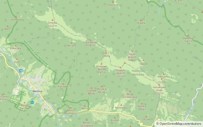
Hnatowe Berdo - a not very prominent culmination of Połonina Wetlinska in the Western Bieszczady Mountains. It is located west of Osadzki Wierch, as the end of a short side ridge. The summit part is covered by the forest. The top is not available for tourists. From rare in Poland plants there is a Bukovina toadstool.
Coordinates: 49°10'3"N, 22°30'45"E
Address
Bieszczady National Park
ContactAdd
Social media
Add
Day trips
Hnatowe Berdo – popular in the area (distance from the attraction)
Nearby attractions include: Kremenec mountain, Ďurkovec mountain, Kościół pw. Świętego Mikołaja, San Valley Landscape Park.
Frequently Asked Questions (FAQ)
Which popular attractions are close to Hnatowe Berdo?
Nearby attractions include Osadzki Wierch, Bieszczady National Park (16 min walk), Roh, Bieszczady National Park (19 min walk), Szare Berdo, Bieszczady National Park (21 min walk).


