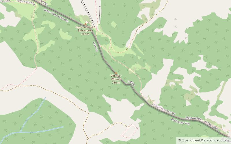
Vitkuľa / Witkula
Map

Map

Facts and practical information
Witkula - a summit of height in the Mały Pieniny in their main ridge. It is located in this ridge about 300 m southeast of Szafranówki, separated from it by a small and grassy pass. Witkula creates a narrow and rocky ridge wooded with bushes and dwarf trees. The Polish-Slovakian border crosses this ridge. The top of Witkula is rocky but without a view, because it is covered by bushes. On the eastern side the Witkula ridge descends to the pass called Danielka, which offers views of Jarmuta and Szczawnica.
Location
Lesser Poland
ContactAdd
Social media
Add
Day trips
Vitkuľa / Witkula – popular in the area (distance from the attraction)
Nearby attractions include: Schronisko PTTK Orlica, Pawilon wejściowy w Szczawnicy, Park Dolny, Stary Cmentarz.


