Wąwozowa Street, Warsaw
Map

Map

Facts and practical information
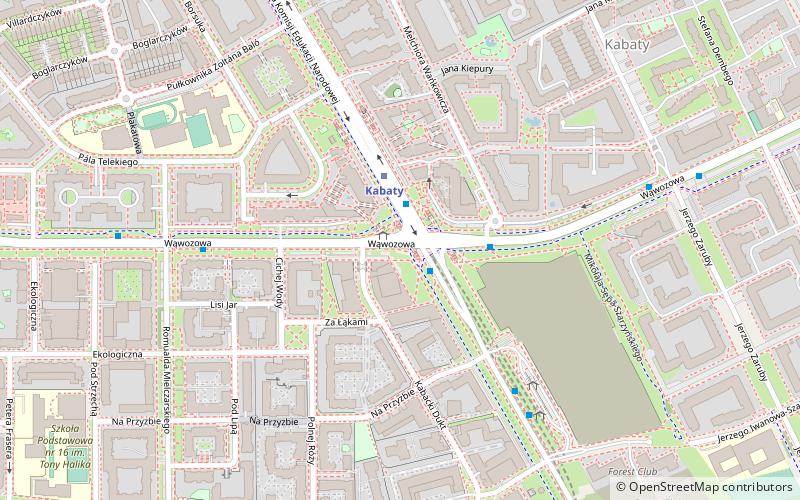
The Wąwozowa Street is one of the principal streets of the Warsaw's residential neighborhood of Kabaty in the Ursynów district. It runs along the East-West axis, linking the Rosoła Street with the Stryjeńskich Street. The name comes from gorges bordering escarpment of the Vistula, and was given in 1978 by the National Council of the Capital City of Warsaw resolution. ()
Address
Ursynów (Kabaty)Warsaw
ContactAdd
Social media
Add
Day trips
Wąwozowa Street – popular in the area (distance from the attraction)
Nearby attractions include: Natolin Park, Rosoła Street, Płaskowickiej Street, Stryjeńskich Street.
Frequently Asked Questions (FAQ)
Which popular attractions are close to Wąwozowa Street?
Nearby attractions include Natolin, Warsaw (17 min walk), Kabaty, Warsaw (18 min walk), Stryjeńskich Street, Warsaw (20 min walk), Natolin Park, Warsaw (24 min walk).
How to get to Wąwozowa Street by public transport?
The nearest stations to Wąwozowa Street:
Bus
Metro
Bus
- Metro Kabaty 01 • Lines: N86 (2 min walk)
- Osiedle Kabaty 05 • Lines: 710 (5 min walk)
Metro
- Kabaty • Lines: M1 (2 min walk)
- Natolin • Lines: M1 (21 min walk)


