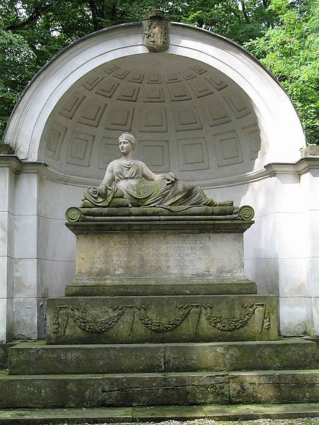
Natolin, Warsaw
Map

Gallery

Facts and practical information
Natolin is a residential neighborhood in Ursynów, the southernmost district of Warsaw. ()
Local name: Zespół pałacowo-parkowy w Natolinie Created: 2006Elevation: 348 ft a.s.l.Coordinates: 52°8'20"N, 21°4'25"E
Address
Wilanów (Wilanów Nowy)Warsaw
ContactAdd
Social media
Add
Day trips
Natolin – popular in the area (distance from the attraction)
Nearby attractions include: Natolin Park, Rosoła Street, Płaskowickiej Street, Wąwozowa Street.
Frequently Asked Questions (FAQ)
Which popular attractions are close to Natolin?
Nearby attractions include Natolin Park, Warsaw (8 min walk), Wąwozowa Street, Warsaw (17 min walk), Rosoła Street, Warsaw (18 min walk), Kabaty, Warsaw (18 min walk).
How to get to Natolin by public transport?
The nearest stations to Natolin:
Bus
Metro
Bus
- Kiepury 02 • Lines: 166, 192, N37 (4 min walk)
- Lokajskiego 02 • Lines: N37 (6 min walk)
Metro
- Kabaty • Lines: M1 (16 min walk)
- Natolin • Lines: M1 (19 min walk)


