Podgórze Duchackie, Kraków
Map

Map

Facts and practical information
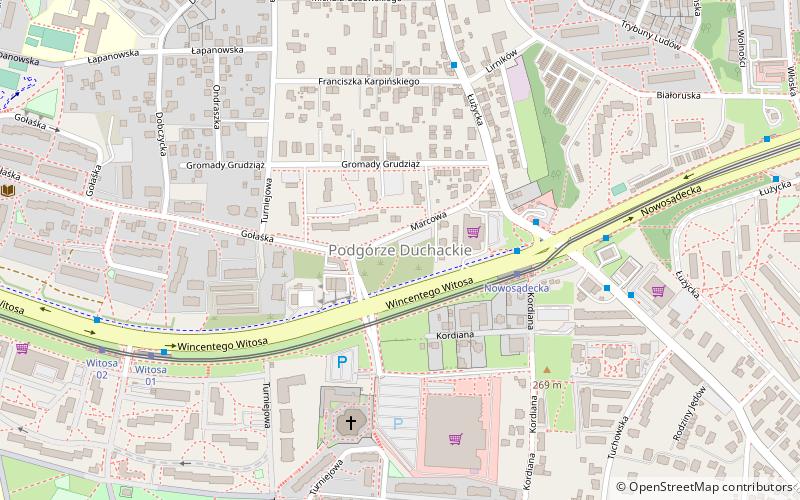
Podgórze Duchackie is one of 18 districts of Kraków, located in the southern part of the city. The name Podgórze Duchackie comes from two villages that are now parts of the district. ()
Address
Podgórze Duchackie (Wola Duchacka Zachód)Kraków
ContactAdd
Social media
Add
Day trips
Podgórze Duchackie – popular in the area (distance from the attraction)
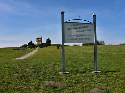
Nearby attractions include: Sanktuarium Bożego Miłosierdzia, Kraków-Płaszów concentration camp, Hujowa Górka, Kościół pw. Świętego Jana Pawła II.
Frequently Asked Questions (FAQ)
How to get to Podgórze Duchackie by public transport?
The nearest stations to Podgórze Duchackie:
Tram
Bus
Train
Tram
- Nowosądecka • Lines: 24, 50, 6 (3 min walk)
- Witosa • Lines: 24, 50, 6 (8 min walk)
Bus
- Tuchowska • Lines: 107, 169, 469 (6 min walk)
- Piaski Nowe • Lines: 164 (10 min walk)
Train
- Kraków Bonarka (33 min walk)


