Pyry, Warsaw
Map

Map

Facts and practical information
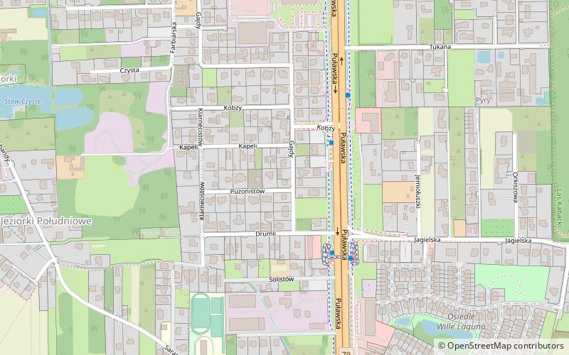
Pyry is one of the southernmost neighborhoods of the city of Warsaw. Administratively part of the Ursynów district, it was originally a separate village located along ulica Puławska, which links Warsaw with the town of Piaseczno. To the east, Pyry borders on the Kabaty Woods. ()
Address
Ursynów (Dąbrówka)Warsaw
ContactAdd
Social media
Add
Day trips
Pyry – popular in the area (distance from the attraction)
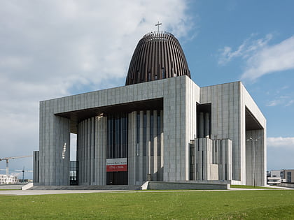
Nearby attractions include: Museum of John Paul II and Primate Wyszyński, Natolin Park, Temple of Divine Providence, Rosoła Street.
Frequently Asked Questions (FAQ)
How to get to Pyry by public transport?
The nearest stations to Pyry:
Bus
Train
Bus
- Kapeli 01 • Lines: 709, 715, 727, 737, 739, N83 (2 min walk)
- Jagielska 02 • Lines: 709, 715, 727, 737, 739, N83 (4 min walk)
Train
- Warszawa Jeziorki (28 min walk)
- Warszawa Dawidy (35 min walk)


