Walls of Lisbon, Lisbon
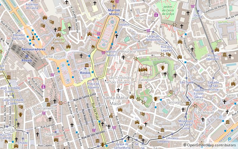
Map
Facts and practical information
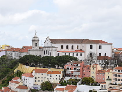
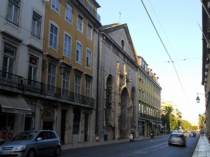
The walls of Lisbon are a series of three nested defensive stone-wall complexes built at different times to defend Lisbon. They consist of the São Jorge Castle proper and its walls, the cerca moura and its lateral extension the muralha de D. Diniz, and the cerca fernandina. While the castle walls are essentially intact, the remaining walls are only visible in fragments embedded in buildings and open spaces in contemporary Lisbon. ()
Coordinates: 38°42'49"N, 9°8'8"W
Address
Santa Maria Maior (São Cristóvão e São Lourenço)Lisbon
ContactAdd
Social media
Add
Day trips
Walls of Lisbon – popular in the area (distance from the attraction)
Nearby attractions include: Elevador de Santa Justa, São Jorge Castle, Carmo Convent, Lisbon Cathedral.
Frequently Asked Questions (FAQ)
Which popular attractions are close to Walls of Lisbon?
Nearby attractions include Praça da Figueira, Lisbon (4 min walk), São Jorge Castle, Lisbon (4 min walk), Martim Moniz, Lisbon (4 min walk), Igreja de São Domingos, Lisbon (5 min walk).
How to get to Walls of Lisbon by public transport?
The nearest stations to Walls of Lisbon:
Tram
Bus
Metro
Train
Ferry
Tram
- Square of the Fig Tree • Lines: 12E, 15E, 25E (3 min walk)
- Martim Moniz • Lines: 12E, 28E (3 min walk)
Bus
- Praça da Figueira • Lines: 208, 714, 737, 760, 774 (4 min walk)
- Martim Moniz • Lines: 208, 708, 734, 760 (4 min walk)
Metro
- Rossio • Lines: Verde (4 min walk)
- Martim Moniz • Lines: Verde (7 min walk)
Train
- Rossio (9 min walk)
- Lisboa Santa Apolónia (18 min walk)
Ferry
- Cais do Sodré • Lines: Ferries da Transtejo (22 min walk)
 Metro
Metro


