Serangoon Harbour, Singapore/East Coast
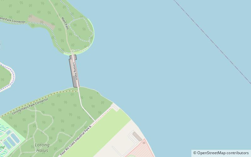
Map
Facts and practical information
Serangoon Harbour is a harbour in Singapore located between the mainland island of Singapore and Pulau Ubin. ()
Coordinates: 1°24'0"N, 103°56'0"E
Address
Singapore/East Coast
ContactAdd
Social media
Add
Day trips
Serangoon Harbour – popular in the area (distance from the attraction)
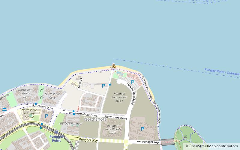
Nearby attractions include: Punggol Point Park, White Sands, Punggol Plaza, German Girl Shrine.
Frequently Asked Questions (FAQ)
How to get to Serangoon Harbour by public transport?
The nearest stations to Serangoon Harbour:
Bus
Train
Bus
- Opposite Waterway Primary School • Lines: 381 (25 min walk)
- Waterway Primary School • Lines: 381 (26 min walk)
Train
- Kadaloor (30 min walk)
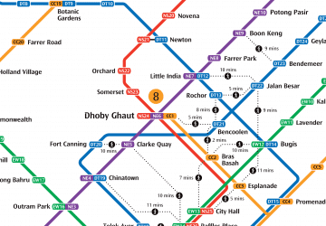 Metro
Metro