Central Police Division, Central Area

Map
Facts and practical information
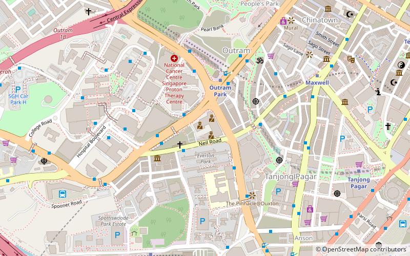
The Central Police Division, is one of the seven land division of the Singapore Police Force. It was established in 1867 and is the longest-serving Police Division in Singapore. Amongst the seven land divisions covering all of Singapore's primary land mass, Central Division has the smallest operational area, covering just over 27 square kilometres and has a residential population of around 280,000. ()
Coordinates: 1°16'42"N, 103°50'22"E
Address
Central Region (Bukit Merah)Central Area
ContactAdd
Social media
Add
Day trips
Central Police Division – popular in the area (distance from the attraction)
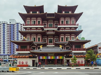
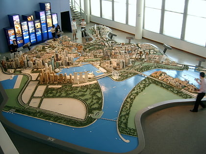
Nearby attractions include: Buddha Tooth Relic Temple and Museum, Singapore City Gallery, Sri Mariamman Temple, People's Park Complex.
Frequently Asked Questions (FAQ)
Which popular attractions are close to Central Police Division?
Nearby attractions include Bukit Pasoh Road, Central Area (3 min walk), Baba House (5 min walk), Yan Kit Swimming Complex, Central Area (7 min walk), Pearl Bank Apartments (7 min walk).
How to get to Central Police Division by public transport?
The nearest stations to Central Police Division:
Bus
Metro
Train
Bus
- Outram Park Station Exit F/SGH • Lines: 124, 143, 147, 166, 197, 61, 961, 961M (2 min walk)
- Blk 3 • Lines: 166, 167, 196, 197, 61 (3 min walk)
Metro
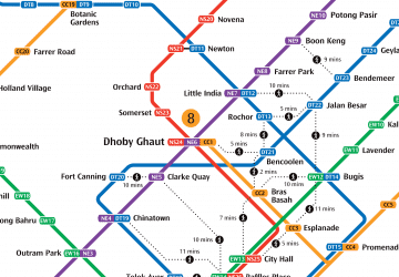
- Outram Park • Lines: Ewl, Nel, Tel (5 min walk)
- Cantonment • Lines: Ccl (11 min walk)
Train
- VivoCity (38 min walk)
 Metro
Metro


