Western Carpathians, Tatra National Park
Map

Map

Facts and practical information
The Western Carpathians are a mountain range and geomorphological province that forms the western part of the Carpathian Mountains. ()
Local name: Západné Karpaty Maximum elevation: 8711 ftElevation: 8711 ftCoordinates: 49°10'2"N, 20°7'52"E
Address
Tatra National Park
ContactAdd
Social media
Add
Day trips
Western Carpathians – popular in the area (distance from the attraction)
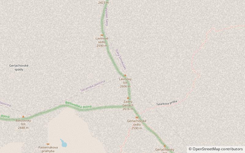
Nearby attractions include: Gerlachovský štít, Gerlachovská veža, Končistá, Batizovský štít.
Frequently Asked Questions (FAQ)
Which popular attractions are close to Western Carpathians?
Nearby attractions include High Tatras, Tatra National Park (1 min walk), Fatra-Tatra Area, Tatra National Park (3 min walk), Gerlachovský štít, Tatra National Park (7 min walk), Litvorový štít, Tatra National Park (7 min walk).


