Veža nad Prielomom, Tatra National Park
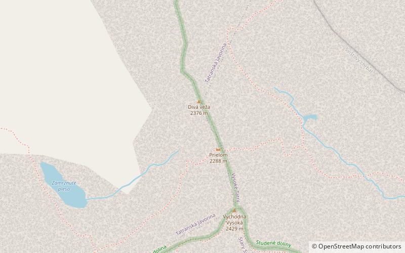
Map

Gallery

Facts and practical information
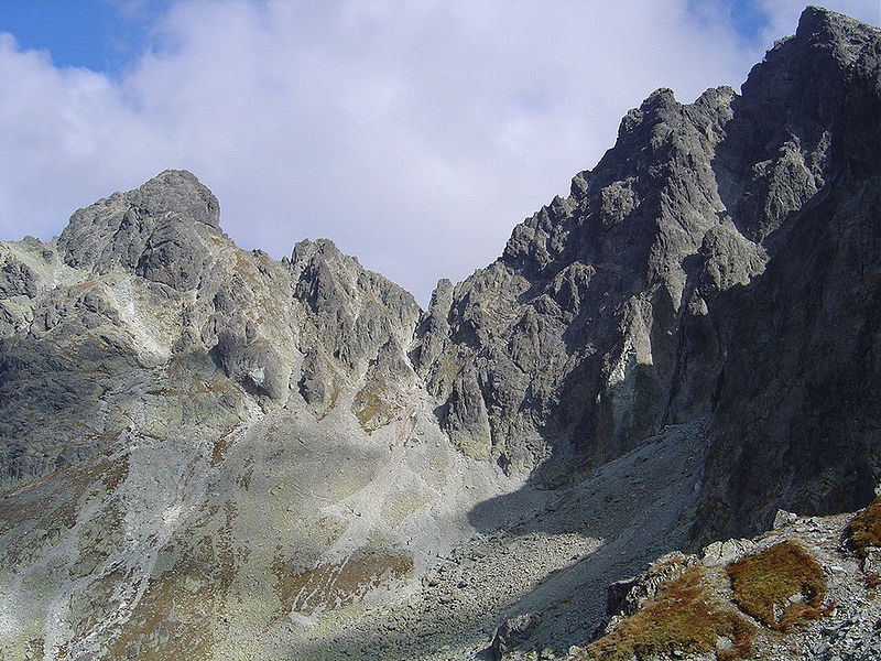
Turnia nad Rohatka - Turnia in the Main Gniv of the High Tatras, in the Slovak High Tatras, with a height of 2332 m. From the top of the wild Turnia is separated by the Wyżnia Rohatka Pass, and from a small high - Rohatka.
No marked tourist routes lead to it, but she is visited by tourists when entering Rohatka. Taternaries enter Turnia over Rohatka, most often at the crossing of the ridge. From Turnia on Rohatka there is a slightly wider view than from Rohatka itself.
Coordinates: 49°10'39"N, 20°8'39"E
Address
Tatra National Park
ContactAdd
Social media
Add
Day trips
Veža nad Prielomom – popular in the area (distance from the attraction)
Nearby attractions include: Gerlachovský štít, Gerlachovská veža, Batizovský štít, Zbojnícka chata.
Frequently Asked Questions (FAQ)
Which popular attractions are close to Veža nad Prielomom?
Nearby attractions include Divá veža, Tatra National Park (2 min walk), Východná Vysoká, Tatra National Park (5 min walk), Svišťový štít, Tatra National Park (11 min walk), Velický štít, Tatra National Park (13 min walk).


