Fatra-Tatra Area, Tatra National Park
Map

Map

Facts and practical information
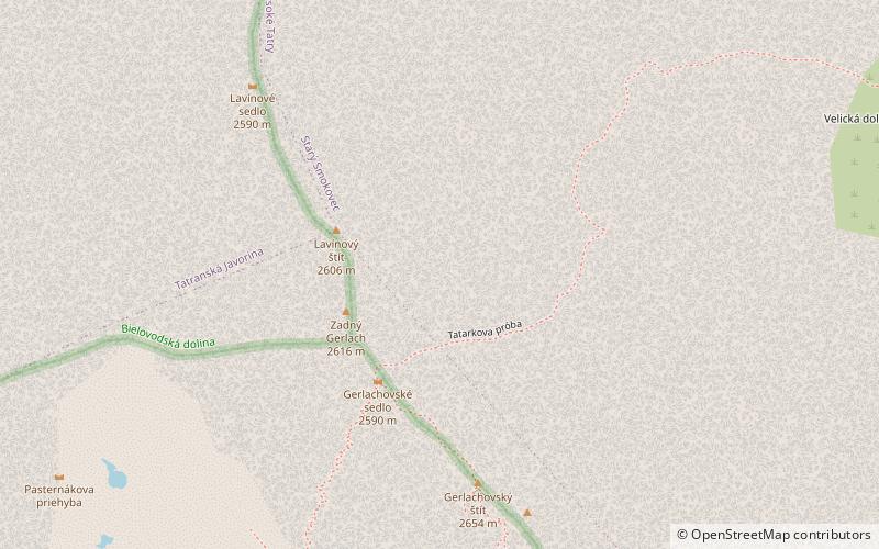
The Fatra-Tatra Area or the Tatra-Fatra Belt of core mountains is a part of the Inner Western Carpathians, a subprovince of the Western Carpathians. Most of the area lies in Slovakia with small parts reaching into Austria and Poland. The highest summit of the whole Carpathians, the Gerlachovský štít at 2,655 m, lies in the High Tatras range which belongs to this area. ()
Address
Tatra National Park
ContactAdd
Social media
Add
Day trips
Fatra-Tatra Area – popular in the area (distance from the attraction)
Nearby attractions include: Gerlachovský štít, Gerlachovská veža, Končistá, Batizovský štít.
Frequently Asked Questions (FAQ)
Which popular attractions are close to Fatra-Tatra Area?
Nearby attractions include High Tatras, Tatra National Park (3 min walk), Western Carpathians, Tatra National Park (3 min walk), Gerlachovský štít, Tatra National Park (5 min walk), Gerlachovská veža, Tatra National Park (7 min walk).


