Playa del Regatón, Santoña
Map

Map

Facts and practical information
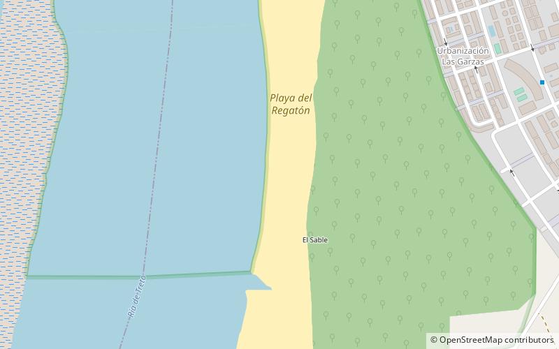
The beach of El Regatón is in Laredo, Cantabria.
It begins at Puntal de Playa de la Salvé and runs along the bed of the Ría de Treto for 2,900 m, until it ends in the municipality of Colindres, next to the Regatón stream. The dune system was described, before the urban expansion, as one of the most important of the Atlantic coast.
Coordinates: 43°25'8"N, 3°27'16"W
Address
Santoña
ContactAdd
Social media
Add
Day trips
Playa del Regatón – popular in the area (distance from the attraction)
Nearby attractions include: Santa Olaja mill, Playa de la Salvé, Playa de Tregandín, Playa de Berria.


