Playa de Berria, Santoña

Gallery (1)
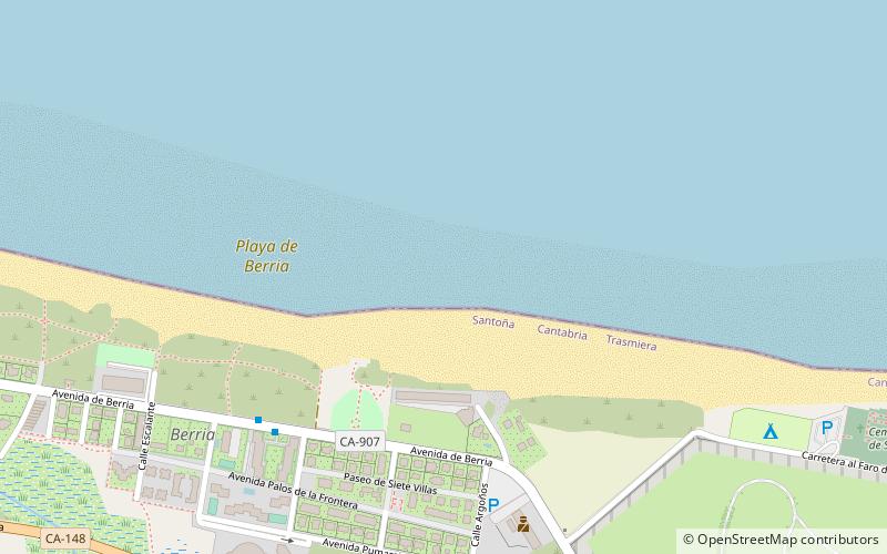
Map
Map
Facts and practical information
Berria beach is located in the municipality of Santoña. It is a beach on the isthmus that joins the peninsula formed by Mount Buciero with the municipality of Argoños. It is 2,200 metres long and stretches between Mount Brusco to the west and the Buciero massif to the east. Its sand is white and fine, has a gentle slope and is decorated with the Blue Flag. It opens to the sea on its northern side, to the south are the marshes of Santoña.
The CA-907 road is easily accessible from both Santoña and Argoños.
Coordinates: 43°27'54"N, 3°27'55"W
Address
Ctra. al Faro del Pescador (Berria)Santoña 39740
ContactAdd
Social media
Add
Day trips


