Faro del Caballo, Santoña
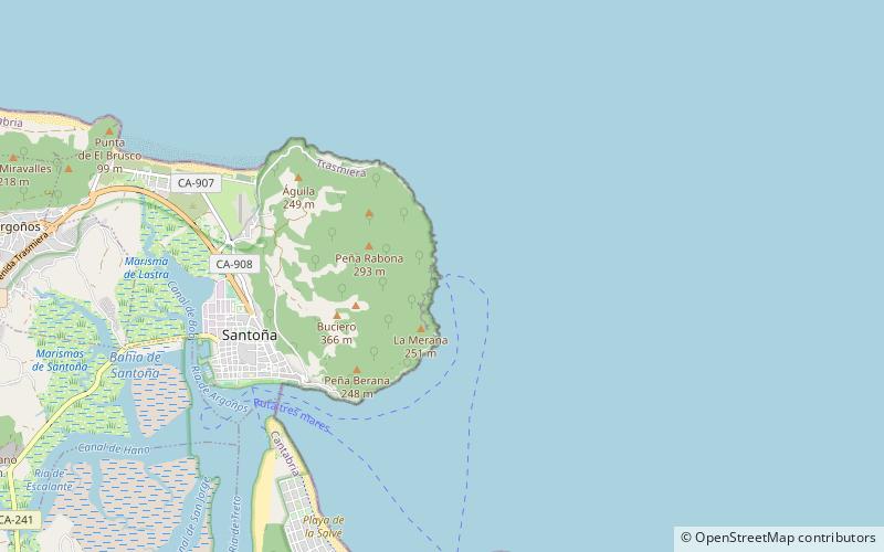
Map

Map

Facts and practical information
Faro del Caballo is a place located in Santoña (Cantabria autonomous community) and belongs to the category of lighthouse.
It is situated at an altitude of 0 feet, and its geographical coordinates are 43°27'5"N latitude and 3°25'32"W longitude.
Among other places and attractions worth visiting in the area are: Fuerte de San Carlos (forts and castles, 30 min walk), Fuerte de San Martín (historical place, 35 min walk), Iglesia de Santa María del Puerto (church, 37 min walk).
Coordinates: 43°27'5"N, 3°25'32"W
Day trips
Faro del Caballo – popular in the area (distance from the attraction)
Nearby attractions include: Playa de la Salvé, Playa de Tregandín, Playa de Berria, Playa de Sonabia.
Frequently Asked Questions (FAQ)
When is Faro del Caballo open?
Faro del Caballo is open:
- Monday 24h
- Tuesday 24h
- Wednesday 24h
- Thursday 24h
- Friday 24h
- Saturday 24h
- Sunday 24h


