University of Medical Sciences and Technology, Khartoum
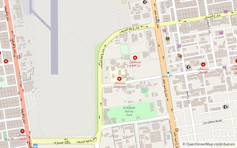
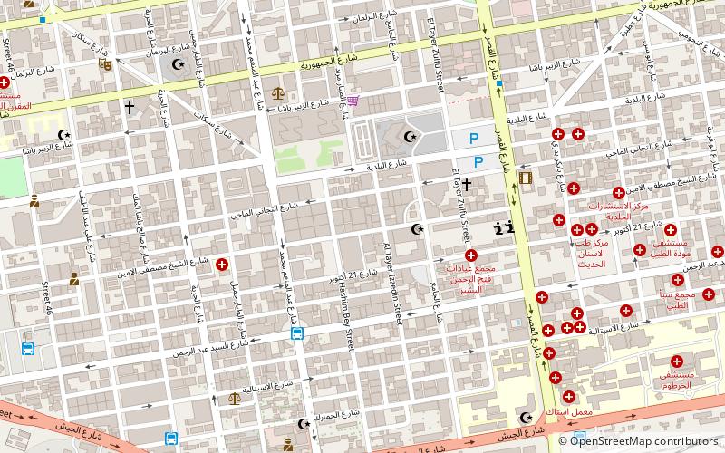
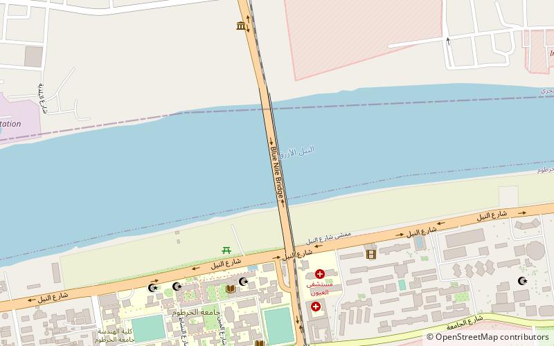
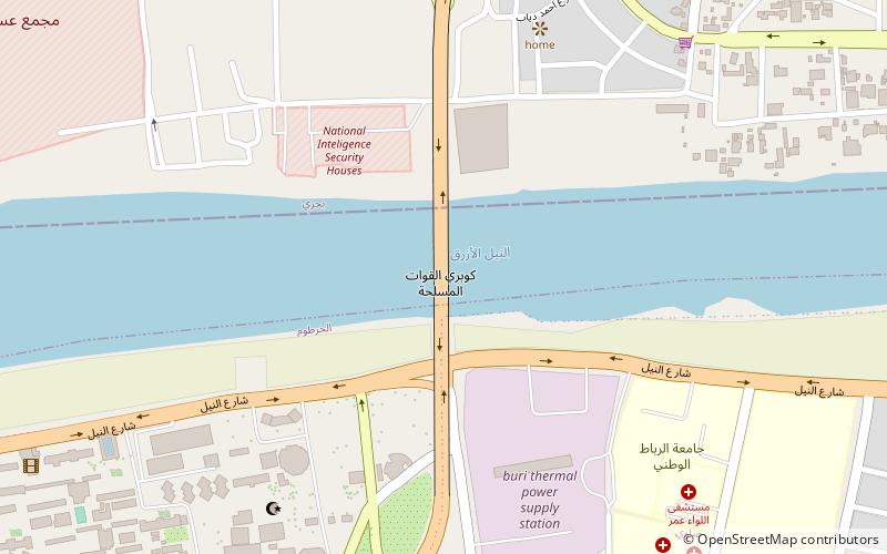
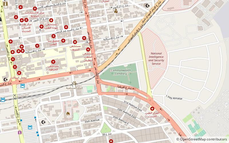
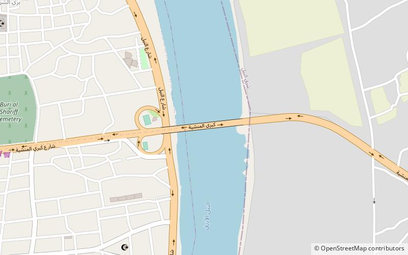
Map
Facts and practical information
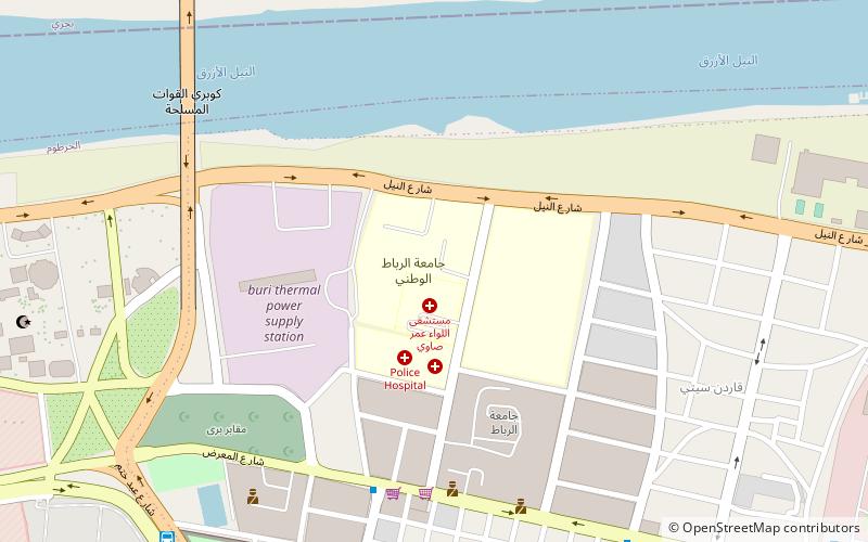
The University of Medical Sciences and Technology is a co-educational mainly medical oriented college in Khartoum, Sudan. The mission of UMST is to serve the educational needs of Sudanese, African and Arab students. It is located in the Riyad district of Khartoum. It first opened its doors in 1995 with a student body of only forty students and two faculties. In 2017 it had become home to 5,000-6,000 students and costs US$15,000 for the school of medicine in 2018. The university has 14 faculties. In 2014 the University stated that 60% of its students were foreign. ()
Local name: جامعة العلوم الطبية والتكنولوجياEstablished: 1995 (31 years ago)Coordinates: 15°34'34"N, 32°33'28"E
Getting there by public transportation
Public transportation stops near this location
- Bus
 Bus
Bus
- Calculate routeمحطة المشتل 9 min walk
- Calculate routeلفة الجريف 14 min walk
- Calculate route8 Station 34 min walk
Day trips


Frequently Asked Questions (FAQ)
How to get to University of Medical Sciences and Technology by public transport?
The nearest stations to University of Medical Sciences and Technology:
Bus
Bus
- محطة المشتل (9 min walk)
- لفة الجريف (14 min walk)