Rengg Pass, Entlebuch Biosphere
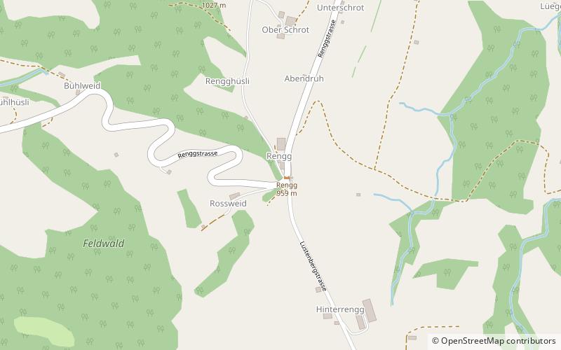
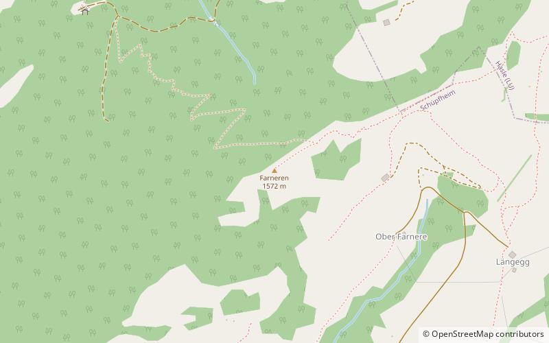
Map
Facts and practical information
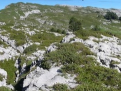
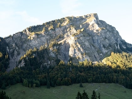
The Rengg Pass is a walking trail mountain pass in Switzerland, between Hergiswil in the canton of Nidwalden and Alpnach in the canton of Obwalden. It crosses the ridge running eastwards from the Pilatus towards Stanstaad. ()
Maximum elevation: 2904 ftCoordinates: 47°0'13"N, 8°5'27"E
Address
Entlebuch Biosphere
ContactAdd
Social media
Add
Day trips
Rengg Pass – popular in the area (distance from the attraction)
Nearby attractions include: Siebenhengste-Hohgant-Höhle, Mittaggüpfi, Schimbrig, Pfarrkirche Werthenstein.
