Farneren, Entlebuch Biosphere
#7 among attractions in Entlebuch Biosphere
Facts and practical information
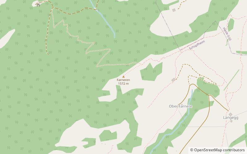
The Farneren is a mountain of the Emmental Alps, overlooking Schüpfheim in the canton of Lucerne. ()
Entlebuch Biosphere Switzerland
Farneren – popular in the area (distance from the attraction)
Nearby attractions include: Siebenhengste-Hohgant-Höhle, Schimbrig, Napf, Schafmatt.
 Nature, Natural attraction, Cave
Siebenhengste-Hohgant-Höhle, Entlebuch Biosphere
127 min walk • Siebenhengste-Hohgant-Höhle is a cave located in Switzerland, in the Canton of Bern north of Lake Thun, between the villages of Eriz and Habkern. The cave network formed in the Urgonian Limestone Formation.
 Nature, Natural attraction, Mountain
Schimbrig, Entlebuch Biosphere
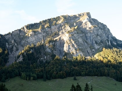
88 min walk • The Schimbrig is a mountain of the Emmental Alps, located in the municipality of Hasle in the canton of Lucerne. In the nineteenth century a tourist resort was established at the foot of the mountain where a natural sulphur spring surfaces.
 Nature, Natural attraction, Mountain
Napf
167 min walk • The Napf is a mountain on the border between the Swiss cantons of Bern and Lucerne. With an altitude of 1,408 meters, it is the summit of the Napfgebiet, the hilly region lying between Bern and Lucerne.
 Nature, Natural attraction, Mountain
Schafmatt, Entlebuch Biosphere
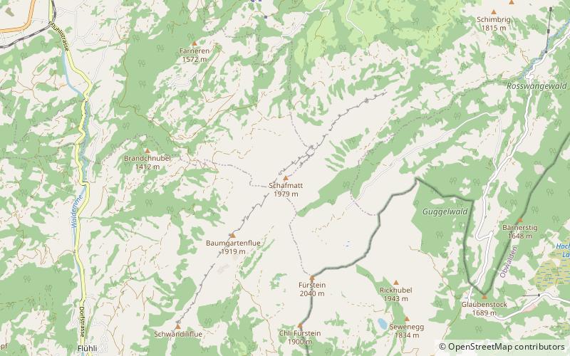
47 min walk • The Schafmatt is a mountain of the Emmental Alps, located north of Flühli in the canton of Lucerne. It lies north of the Fürstein, where the border with the canton of Obwalden runs.
 Nature, Natural attraction, Mountain
Beichle, Entlebuch Biosphere
105 min walk • The Beichle is a mountain of the Emmental Alps, overlooking Escholzmatt in the canton of Lucerne.
 Dramatic mountain pass with Alps scenery
Glaubenberg Pass
108 min walk • Glaubenberg Pass is a high mountain pass in the Emmental Alps between the cantons of Lucerne and Obwalden in Switzerland. It connects Entlebuch and Sarnen.
 Nature, Natural attraction, Mountain
Fürstein, Entlebuch Biosphere
76 min walk • The Fürstein is a mountain of the Emmental Alps, located on the border between the cantons of Lucerne and Obwalden. The closest locality is Flühli, on the western side.
 Nature, Natural attraction, Mountain pass
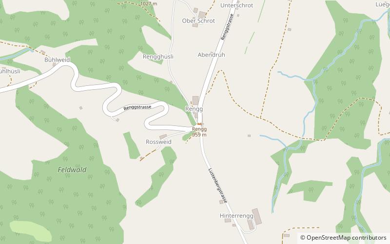
Rengg, Entlebuch Biosphere
136 min walk • Rengg is a locality and a mountain pass in the canton of Lucerne in Switzerland. It connects Schachen, part of Werthenstein, and Entlebuch. It lies partially in the district of Entlebuch which is a biosphere preserve recognized by UNESCO.
 Nature, Natural attraction, Mountain pass
Rengg Pass, Entlebuch Biosphere
136 min walk • The Rengg Pass is a walking trail mountain pass in Switzerland, between Hergiswil in the canton of Nidwalden and Alpnach in the canton of Obwalden. It crosses the ridge running eastwards from the Pilatus towards Stanstaad.
 Locality
Flühli
102 min walk • Flühli is a municipality in the district of Entlebuch in the canton of Lucerne in Switzerland. The municipality consists of the villages of Flühli and Sörenberg, which form independent parishes.
 Locality
Escholzmatt-Marbach
134 min walk • Escholzmatt-Marbach is a municipality in the district of Entlebuch in the canton of Lucerne in Switzerland. On 1 January 2013 the former municipalities of Escholzmatt and Marbach merged to form the new municipality of Escholzmatt-Marbach.