Piz Terri
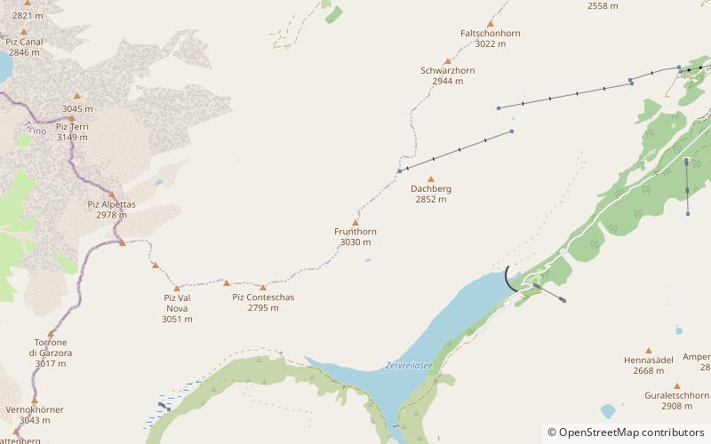
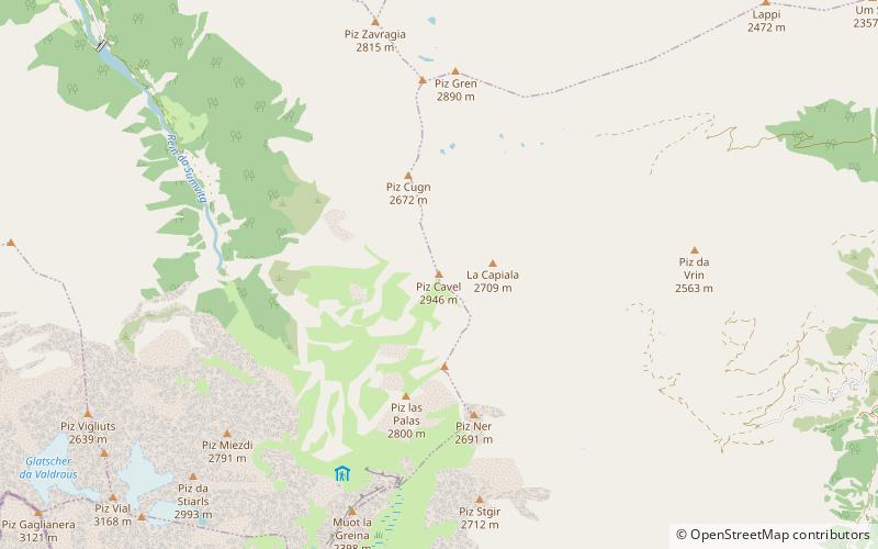
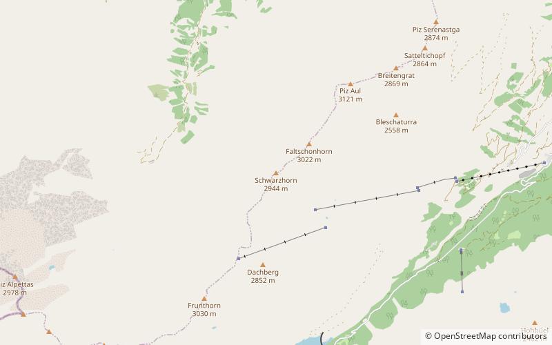
Map
Gallery
Facts and practical information
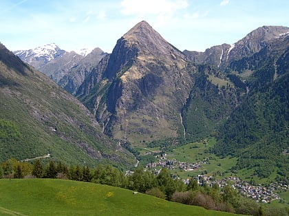
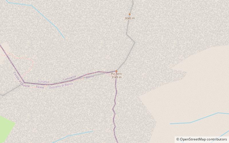
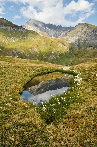
Piz Terri is a mountain in the Lepontine Alps, located on the border between the cantons of Ticino and Graubünden. At 3,149 metres above sea level it is the highest summit lying on the chain between Greina and Soreda Pass. Piz Terri overlooks Lake Luzzone in Val Blenio on its west side, Val Sumvitg on its north side and Lumnezia on its east side. Close localities are Olivone and Vrin. ()
Location
Ticino
ContactAdd
Social media
Add
Day trips
Piz Terri – popular in the area (distance from the attraction)
Nearby attractions include: Zervreilasee, Guraletschsee, Lago di Luzzone, Sosto.


