Piz Foraz, Swiss National Park

Gallery (1)
Map
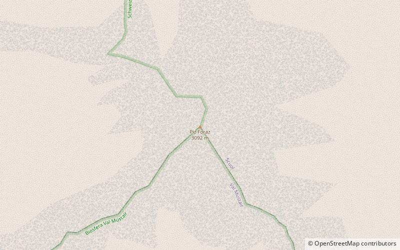
Map
Facts and practical information
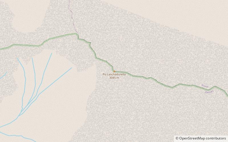
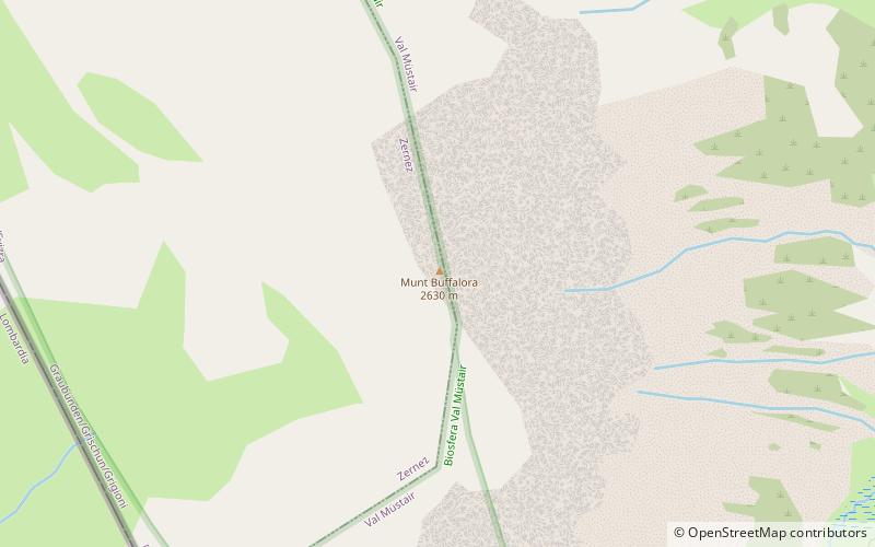
Piz Foraz is a mountain in the Sesvenna Range of the Alps, located south-west of S-charl in the canton of Graubünden. ()
Elevation: 10144 ftProminence: 781 ftCoordinates: 46°41'26"N, 10°16'36"E
Address
Swiss National Park
ContactAdd
Social media
Add
Day trips