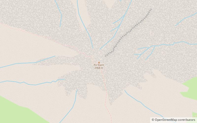
Piz Daint

Gallery (1)
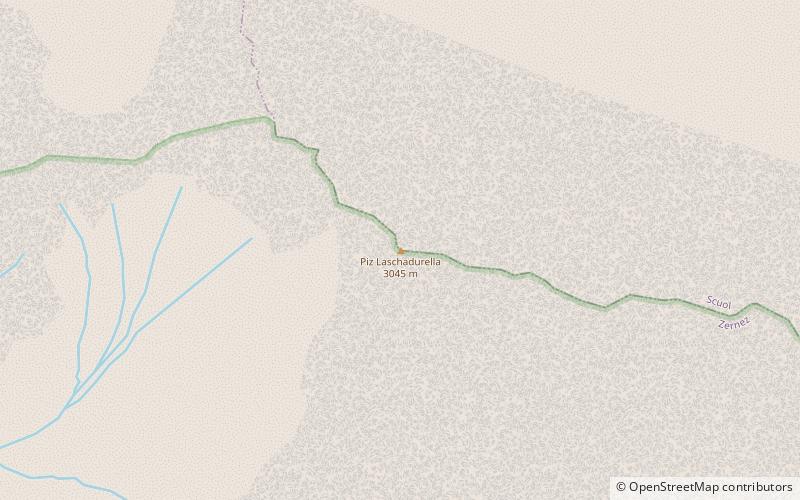
Map
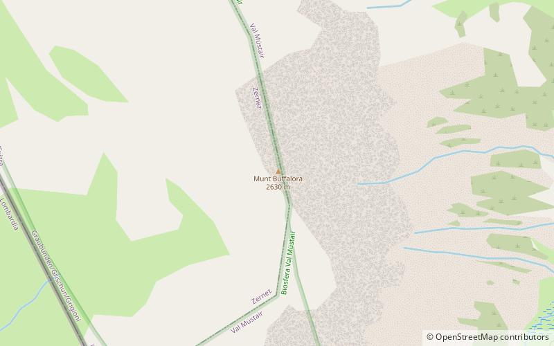
Map
Facts and practical information
Piz Daint is a mountain of the Swiss Ortler Alps, overlooking the Ofen Pass in the canton of Graubünden. The closest locality is Tschierv on the north side. ()
Location
Graubünden
ContactAdd
Social media
Add
Day trips