Fuorn Pass
#849 among destinations in Switzerland
![blank map](https://tzassets.b-cdn.net/static/img/blank-map-colors-sm.png)
![Fuorn Pass](https://tzmedia.b-cdn.net/media/images/ch/place/gallery/medium/7ef2182c185aa0d6cef18ef490cadede.jpg)
Facts and practical information
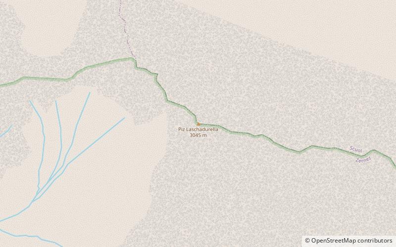
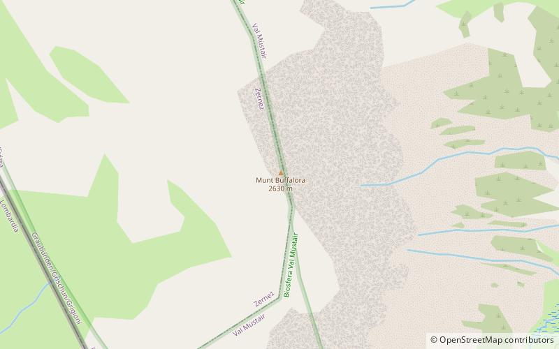
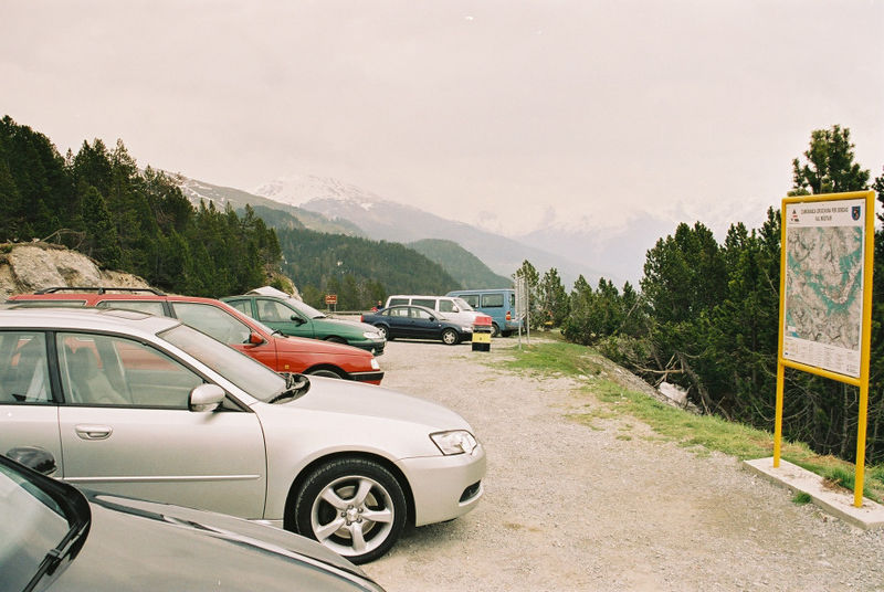
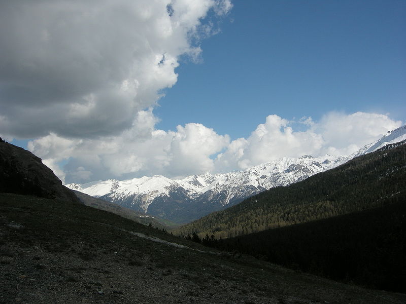
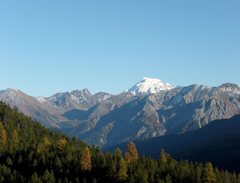
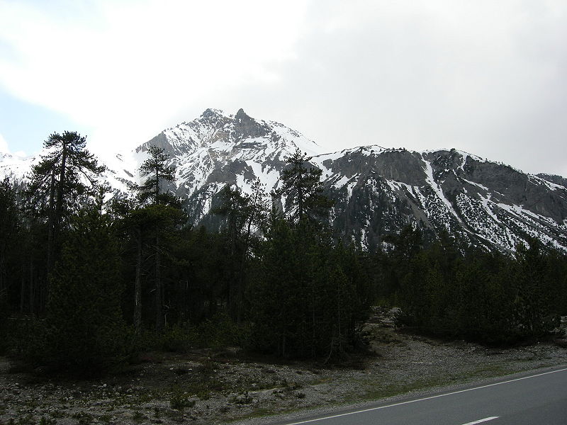
Fuorn Pass or Ofen Pass is a high alpine mountain pass in the canton of Graubünden in Switzerland. The name is based on the ovens that were used in ironworks in the area. The ruins of these ovens can still be seen from nearby trails. ()
GraubündenSwitzerland
Fuorn Pass plan & book
Unleash the traveler in you — discover the cheapest flight deals, find the perfect hotel or hostel nearby, and search for the best car rental prices. Travel at your own pace to discover new places and enjoy your journey.
Fuorn Pass – popular in the area (distance from the attraction)
Nearby attractions include: Lai da Rims, Alpine Astrovillage Lü-Stailas, Val Müstair, Piz Daint.
6.9 miSENature, Natural attraction, LakeLai da Rims
175 min walk • Lai da Rims is a lake in Val Müstair, Grisons, Switzerland. The surface area of 17 ha has an elevation of 2396 m. It is the largest lake in the Rom basin, which makes it also the largest lake in the Swiss portion of the Adige basin.
3.6 miEObservatories and planetariumsAlpine Astrovillage Lü-Stailas
92 min walk • Alpine Astrovillage is a center for astrophotography and stargazing in the eastern Swiss Alps, high above the valley floor of the Val Müstair in the canton Graubünden. It was founded by Drs. Vaclav & Jitka Ourednik during the International Year of Astronomy 2009. The complete name is Alpine Astrovillage Lü-Stailas.
4.2 miSENature, Natural attraction, ValleyVal Müstair
108 min walk • Val Müstair is a municipality in the Engiadina Bassa/Val Müstair Region in the Swiss canton of Graubünden. It was formed on 1 January 2009 through the merger of Tschierv, Fuldera, Lü, Valchava, Santa Maria Val Müstair and Müstair.
1.4 miSNature, Natural attraction, MountainPiz Daint
37 min walk • Piz Daint is a mountain of the Swiss Ortler Alps, overlooking the Ofen Pass in the canton of Graubünden. The closest locality is Tschierv on the north side.
6.9 miNENature, Natural attraction, MountainPiz Sesvenna
178 min walk • Piz Sesvenna is the highest mountain in the Sesvenna Range of the Alps. It lies between the Swiss canton of Graubünden and the Italian region of South Tyrol. The summit is located within Switzerland, very close to the Italian border and main watershed. On the north side of Piz Sesvenna lies a glacier named Vadret da Sesvenna.
6.1 miNWMountainPiz Laschadurella, Swiss National Park
155 min walk • Piz Laschadurella is a mountain in the Sesvenna Range of the Alps, located east of Zernez in the canton of Graubünden. Its southern side is part of the Swiss National Park.
3.9 miWNature, Natural attraction, MountainMunt la Schera, Swiss National Park
100 min walk • Munt la Schera is a mountain of the Ortler Alps, located south of Il Fuorn in the canton of Graubünden. The Munt la Schera Tunnel runs inside the mountain at a height of approximately 1,800 metres.
5.1 miENature, Natural attraction, MountainPiz Terza
130 min walk • Piz Terza is a mountain in the Sesvenna Range of the Alps, located on the border between Italy and Switzerland. The closest locality is Müstair.
2.7 miNNature, Natural attraction, MountainPiz Tavrü
70 min walk • Piz Tavrü is a mountain in the Sesvenna Range of the Alps, located north of the Ofen Pass in the canton of Graubünden. Its southern side is part of the Swiss National Park.
2.2 miSWNature, Natural attraction, MountainMunt Buffalora, Swiss National Park
56 min walk • Munt Buffalora is a mountain of the Ortler Alps, located south of the Ofen Pass in the Swiss canton of Graubünden.
3.6 miNNature, Natural attraction, MountainPiz Foraz, Swiss National Park
92 min walk • Piz Foraz is a mountain in the Sesvenna Range of the Alps, located south-west of S-charl in the canton of Graubünden. The south and east sides of the mountain are part of the Swiss National Park.