Munt la Schera, Swiss National Park
Map

Map

Facts and practical information
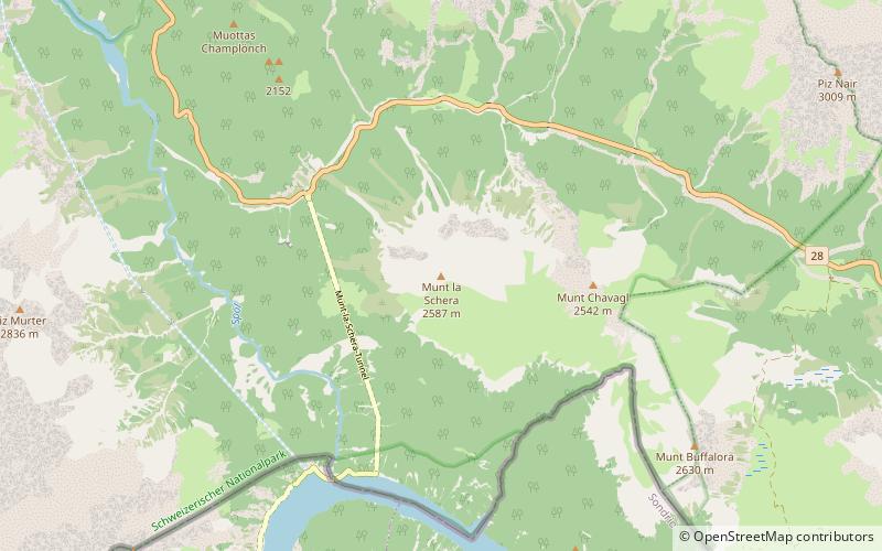
Munt la Schera is a mountain of the Ortler Alps, located south of Il Fuorn in the canton of Graubünden. ()
Address
Swiss National Park
ContactAdd
Social media
Add
Day trips
Munt la Schera – popular in the area (distance from the attraction)
Nearby attractions include: Wildenberg Castle, Familienbad, Piz Daint, Piz Laschadurella.
Frequently Asked Questions (FAQ)
How to get to Munt la Schera by public transport?
The nearest stations to Munt la Schera:
Bus
Bus
- Punt la Drossa P4 • Lines: 811, 815 (30 min walk)
- Stabelchod P8 • Lines: 811 (37 min walk)


