Lag da Breil

Gallery (1)
Map
Map
Facts and practical information
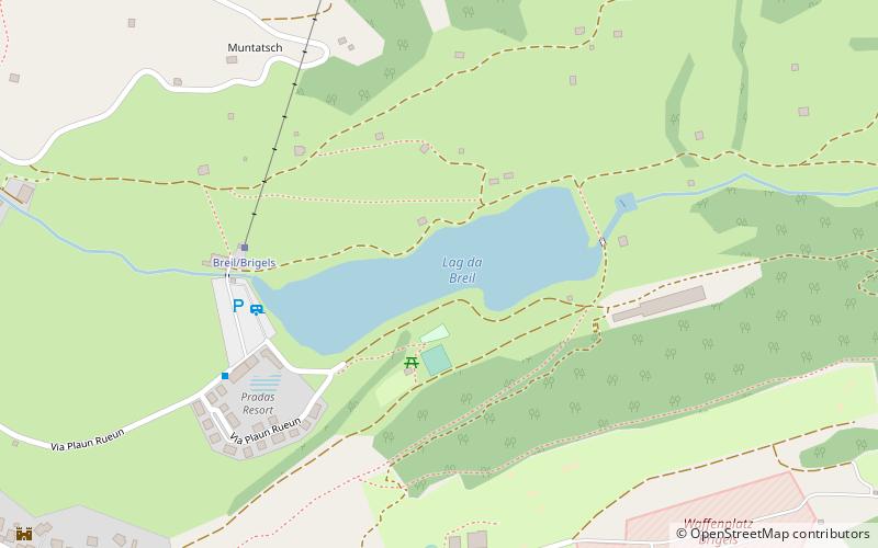
The Lag da Breil is a lake located east of Breil/Brigels in the canton of Graubünden. It lies at a height of 1,255 metres above sea level and has a maximum length of 500 metres. ()
Elevation: 4117 ft a.s.l.Coordinates: 46°46'17"N, 9°4'16"E
Location
Graubünden
ContactAdd
Social media
Add
Day trips