Limmernsee

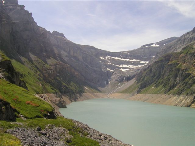
Gallery (2)
Map
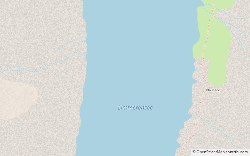
Map
Gallery
Facts and practical information
Limmernsee is a reservoir in the Canton of Glarus, Switzerland, between the peaks of Muttenchopf, Selbsanft and Kistenstöckli. It may be reached by aerial tramway or by foot from Linthal. ()
Local name: Limmerensee Length: 9843 ftMaximum depth: 400 ftElevation: 6093 ft a.s.l.Coordinates: 46°50'10"N, 9°0'48"E
Location
Glarus
ContactAdd
Social media
Add
Day trips


