Bifertenstock
Map

Map

Facts and practical information
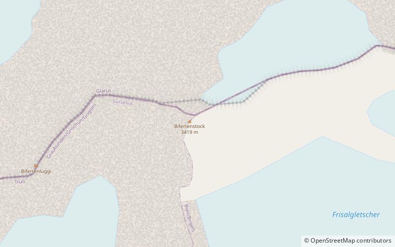
The Bifertenstock is a mountain in the Glarus Alps, located at an elevation of 3,419 m on the border between the cantons of Glarus and Graubünden, its peak, however, is located about 25 metres south of the border. It overlooks four valleys: the valley of the Biferten Glacier to the north-west, the Griess Glacier to the north-east, the Val Punteglias to the south, which leads down to Trun, and the Val Frisal on the south-east. Glaciers cover both sides of the mountain, but are smaller on the southern side. ()
Location
Graubünden
ContactAdd
Social media
Add
Day trips
Bifertenstock – popular in the area (distance from the attraction)
Nearby attractions include: Tödi, Lag da Breil, Limmernsee, Muttsee.


