Selbsanft

Gallery (1)
Map
Map
Facts and practical information
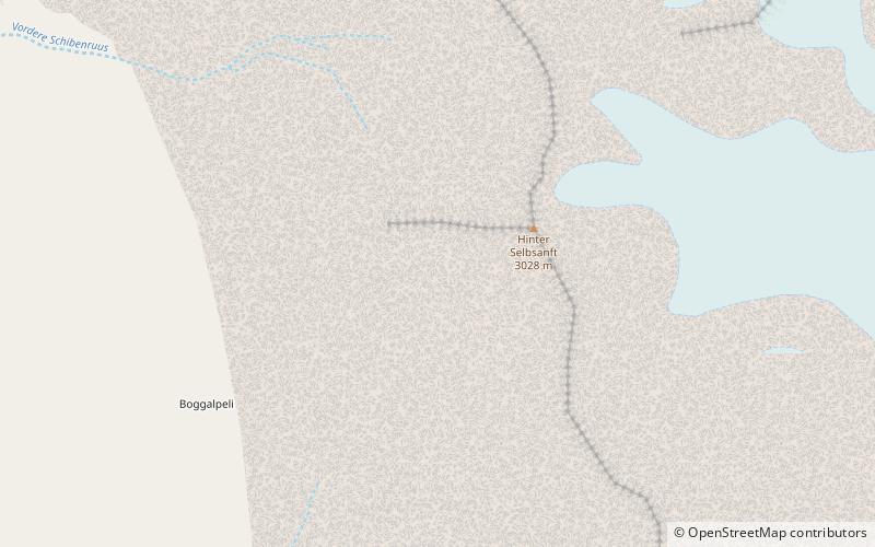
The Selbsanft is a mountain massif in the Glarus Alps, overlooking the village of Linthal in the canton of Glarus. The Selbsanft is a large mountain massif consisting of several summits of which the highest is named Hideri Schibe. The massif is a buttress of the Bifertenstock and forms, along with Schiben, the ridge that separates the valleys of the Sand and Limmernsee. A small glacier lies east of the summit. ()
Location
Glarus
ContactAdd
Social media
Add
Day trips


