Guggernellgrat, Lenzerheide
#11 among attractions in Lenzerheide


Facts and practical information
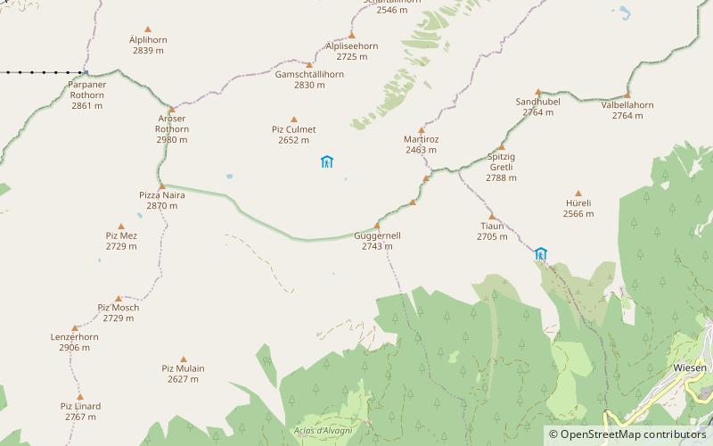
The Guggernellgrat is a mountain of the Plessur Alps, located south of Arosa in the canton of Graubünden. ()
Lenzerheide Switzerland
Guggernellgrat – popular in the area (distance from the attraction)
Nearby attractions include: Arosa Lenzerheide, Obersee, Landwasser Viaduct, Greifenstein Castle.
 Winter sport, Ski area
Arosa Lenzerheide
94 min walk • Nestled in the heart of the Swiss Alps, Arosa Lenzerheide stands as a premier ski area, offering a sublime blend of snow-covered slopes, pristine winter landscapes, and state-of-the-art facilities. This dual-region resort, connected by the Urdenbahn cable car, boasts...
 Nature, Natural attraction, Lake
Obersee, Arosa
116 min walk • Nestled in the serene mountain landscape of Arosa, Switzerland, the Obersee is a pristine alpine lake that beckons to nature lovers and outdoor enthusiasts alike. This tranquil body of water is surrounded by lush forests and rugged peaks, providing a picturesque...
 Soaring, 6-arched railway viaduct
Landwasser Viaduct, Filisur
80 min walk • The Landwasser Viaduct is a single-track six-arched curved limestone railway viaduct. It spans the Landwasser between Schmitten and Filisur, in the canton of Graubünden, Switzerland.
 Forts and castles
Greifenstein Castle, Filisur
98 min walk • Greifenstein Castle is a ruined castle in the municipality of Filisur of the Canton of Graubünden in Switzerland. It is included on the register of the Swiss Inventory of Cultural Property of National and Regional Significance.
 Bridge
Wiesen Viaduct
92 min walk • The Wiesen Viaduct is a single-track railway viaduct, made from concrete blocks with dimension stone coverage. It spans the Landwasser southwest of the hamlet of Wiesen, in the canton of Grisons, Switzerland.
 Forts and castles
Belfort
103 min walk • Belfort Castle is a ruined castle in the municipality of Brienz/Brinzauls of the Canton of Graubünden in Switzerland. It is a Swiss heritage site of national significance.
 Nature, Natural attraction, Mountain
Aroser Rothorn
51 min walk • The Aroser Rothorn is the highest mountain of the Plessur Alps. It is located between Arosa and Lenzerheide in the canton of Graubünden and with a summit elevation of 2,980 metres above sea level.
 Nature, Natural attraction, Mountain
Tschuggen, Arosa
110 min walk • The Tschuggen is a mountain of the Plessur Alps, overlooking Arosa in the Swiss canton of Graubünden. A gondola lift and a chairlift link the top of the mountain with the town and resort of Arosa — the base station of the chairlift is near to Arosa railway station.
 Nature, Natural attraction, Mountain
Lenzerhorn
69 min walk • The Lenzerhorn is a mountain of the Plessur Alps, located east of Lenzerheide in the canton of Graubünden. It has an elevation of 2,906 metres and is, after the Aroser Rothorn, the second highest peak of the Plessur Alps.
 Nature, Natural attraction, Mountain
Valbellahorn
70 min walk • The Valbellahorn is a mountain of the Plessur Alps, located between Arosa and Wiesen in the canton of Graubünden.
 Nature, Natural attraction, Mountain
Sandhubel
53 min walk • The Sandhubel is a mountain of the Plessur Alps, located south of Arosa in the canton of Graubünden. It lies north of the Guggernellgrat.
