Doldenhorn
#1096 among destinations in Switzerland


Facts and practical information
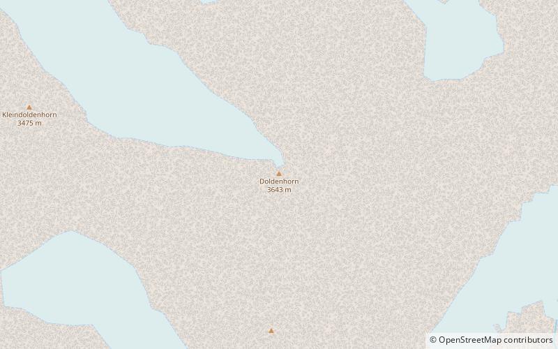
The Doldenhorn is a mountain of the Bernese Alps, overlooking Kandersteg in the Bernese Oberland. On its north side is Lake Oeschinen. ()
BernSwitzerland
Doldenhorn – popular in the area (distance from the attraction)
Nearby attractions include: Oeschinen Lake, Balmhorn, Blüemlisalp, Altels.
 Alpine lake for hiking and ice fishing
Oeschinen Lake
54 min walk • Nestled in the heart of the Swiss Alps, Oeschinen Lake is a natural marvel that captivates visitors with its serene beauty and pristine waters. Situated at an elevation of 1,578 meters, the lake is easily accessible from the nearby town of Kandersteg in the Bernese...
 Forested mountain with alpine huts
Balmhorn
92 min walk • The Balmhorn is a mountain in the Bernese Alps in Switzerland. Its summit ridge lies on the border between the cantons of Berne and the Valais.
 Snowy mountain with panoramic views
Blüemlisalp
58 min walk • The Blüemlisalp is a massif of the Bernese Alps, in the territory of the municipalities of Kandersteg and Reichenbach im Kandertal.
 Alpine peak and skiing/mountaineering spot
Altels
98 min walk • The Altels is a mountain of the Bernese Alps, located on the border between the Swiss cantons of Bern and Valais. It is situated in the Balmhorn massif, approximately halfway between Kandersteg and Leukerbad.
 Peak with skiing and mountaineering
Hockenhorn
75 min walk • The Hockenhorn is a mountain of the Bernese Alps, located on the border between the Swiss cantons of Bern and Valais. Its summit is 3,293 metres high and lies between the upper Kandertal and the Lötschental.
 Nature, Natural attraction, Mountain
Wildi Frau
85 min walk • The Wildi Frau is a mountain of the Bernese Alps, overlooking the Hohtürli Pass in the Bernese Oberland. It lies between the valleys of Kandersteg and Kiental, north of the Blüemlisalp. It lies 60 km at the southwest of the capital, Bern.
 Natural attraction, Mountain
Birghorn, Lötschental
70 min walk • The Birghorn is a mountain of the Bernese Alps, located on the border between the Swiss cantons of Bern and Valais. It lies on the range connecting the Lötschen Pass from the Tschingelhorn, separating the upper Gasterntal from the Lötschental.
 Nature, Natural attraction, Mountain
Oeschinenhorn
48 min walk • The Oeschinenhorn is a mountain of the Bernese Alps, overlooking Lake Oeschinen in the Bernese Oberland. It lies just west of the Blüemlisalp.
 Nature, Natural attraction, Mountain
Petersgrat
91 min walk • The Petersgrat is a mountain of the Bernese Alps, located on the border between the Swiss cantons of Bern and Valais. It consists of a large ridge, which is entirely covered by ice. The northern side belongs to the basin of the large Kander Glacier. On the southern side the glacier is smaller and is named Tellingletscher.
 Nature, Natural attraction, Natural feature
Kander Neve
85 min walk • The Kander Neve is a 6.6 km long glacier of the Bernese Alps, situated south of Kandersteg in the canton of Berne. The glacier lies at the upper end of the Gasterental, at the foot of the Blüemlisalp and the Tschingelhorn.
 Nature, Natural attraction, Mountain
Fründenhorn
31 min walk • The Fründenhorn is a mountain of the Bernese Alps, overlooking Lake Oeschinen in the Bernese Oberland.
