Hockenhorn
Map

Map

Facts and practical information
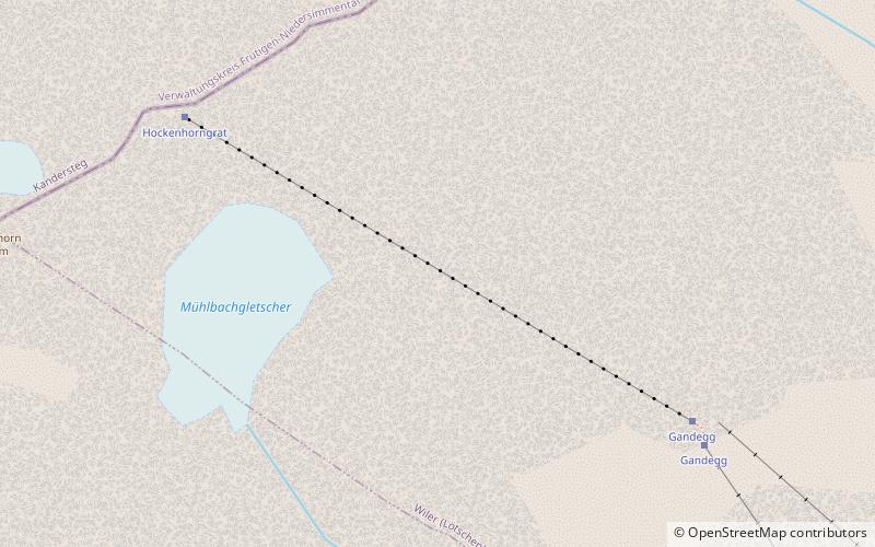
The Hockenhorn is a mountain of the Bernese Alps, located on the border between the Swiss cantons of Bern and Valais. Its summit is 3,293 metres high and lies between the upper Kandertal and the Lötschental. On its southern side lies a glacier named Milibachgletscher. ()
Alternative names: First ascent: 1840Elevation: 10804 ftProminence: 1142 ftCoordinates: 46°25'40"N, 7°45'11"E
Location
Valais
ContactAdd
Social media
Add
Day trips
Hockenhorn – popular in the area (distance from the attraction)
Nearby attractions include: Schwarzsee, Balmhorn, Blüemlisalp, Altels.


