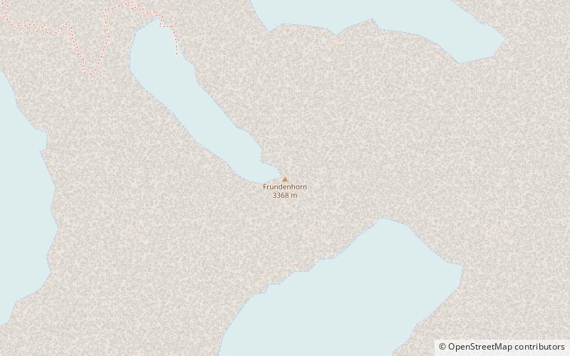
Fründenhorn
#1404 among destinations in Switzerland


Facts and practical information
The Fründenhorn is a mountain of the Bernese Alps, overlooking Lake Oeschinen in the Bernese Oberland. ()
BernSwitzerland
Fründenhorn – popular in the area (distance from the attraction)
Nearby attractions include: Oeschinen Lake, Blüemlisalp, Bütlasse, Tschingelhorn.
 Alpine lake for hiking and ice fishing
Oeschinen Lake
54 min walk • Nestled in the heart of the Swiss Alps, Oeschinen Lake is a natural marvel that captivates visitors with its serene beauty and pristine waters. Situated at an elevation of 1,578 meters, the lake is easily accessible from the nearby town of Kandersteg in the Bernese...
 Snowy mountain with panoramic views
Blüemlisalp
29 min walk • The Blüemlisalp is a massif of the Bernese Alps, in the territory of the municipalities of Kandersteg and Reichenbach im Kandertal.
 Nature, Natural attraction, Mountain
Bütlasse
107 min walk • The Bütlasse is a mountain of the Bernese Alps, located north of the Gspaltenhorn in the canton of Bern. The Vorderi Bütlasse is a minor summit situated north of the Bütlasse. The closest localities are Griesalp and Gimmelwald.
 Nature, Natural attraction, Mountain
Tschingelhorn
111 min walk • The Tschingelhorn is a mountain of the Bernese Alps, located on the border between the Swiss cantons of Bern and Valais. The summit of the Klein Tschingelhorn on the west is the tripoint between the valleys of Kandertal, Lauterbrunnental and Lötschental. The main summit lies between the Lauterbrunnental and the Lötschental.
 Peak with skiing and mountaineering
Hockenhorn
87 min walk • The Hockenhorn is a mountain of the Bernese Alps, located on the border between the Swiss cantons of Bern and Valais. Its summit is 3,293 metres high and lies between the upper Kandertal and the Lötschental.
 Mountain in the Bernese Alps
Gspaltenhorn
105 min walk • The Gspaltenhorn is a mountain of the Bernese Alps, located between the valleys of Kiental and Lauterbrunnen in the canton of Bern.
 Nature, Natural attraction, Mountain
Wildi Frau
58 min walk • The Wildi Frau is a mountain of the Bernese Alps, overlooking the Hohtürli Pass in the Bernese Oberland. It lies between the valleys of Kandersteg and Kiental, north of the Blüemlisalp. It lies 60 km at the southwest of the capital, Bern.
 Alpine hut, Hiking
Mutthorn Hut
90 min walk • The Mutthorn Hut is a mountain hut of the Swiss Alpine Club, located between Kandersteg and Lauterbrunnen in the canton of Bern. It lies at a height of 2,900 metres above sea level, above the watershed between the Kander Glacier and the Tschingel Glacier, at the foot of the Mutthorn.
 Dramatic peak for hiking and skiing
Doldenhorn
31 min walk • The Doldenhorn is a mountain of the Bernese Alps, overlooking Kandersteg in the Bernese Oberland. On its north side is Lake Oeschinen.
 Natural attraction, Mountain
Birghorn, Lötschental
56 min walk • The Birghorn is a mountain of the Bernese Alps, located on the border between the Swiss cantons of Bern and Valais. It lies on the range connecting the Lötschen Pass from the Tschingelhorn, separating the upper Gasterntal from the Lötschental.
 Nature, Natural attraction, Mountain
Oeschinenhorn
18 min walk • The Oeschinenhorn is a mountain of the Bernese Alps, overlooking Lake Oeschinen in the Bernese Oberland. It lies just west of the Blüemlisalp.
