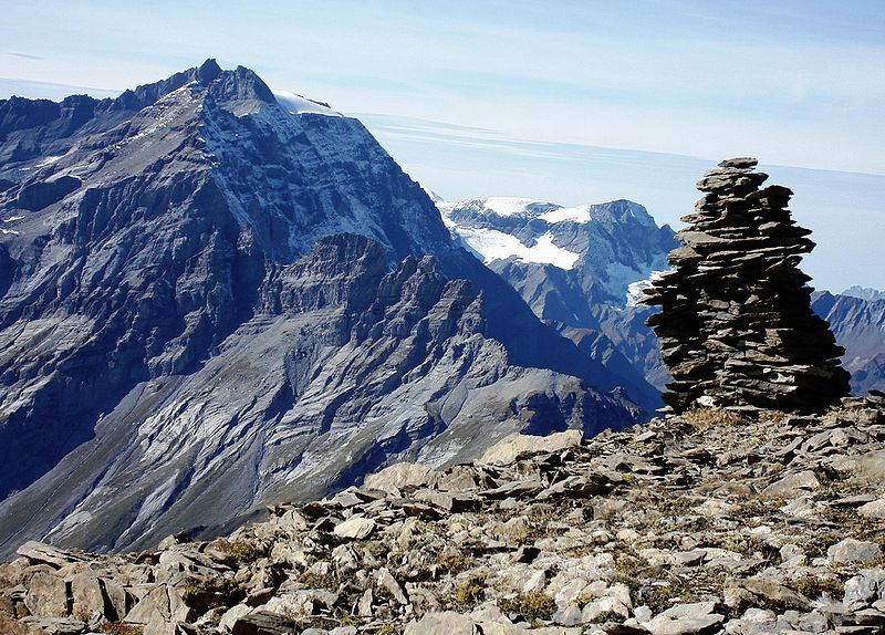
Ringelspitz

Gallery (2)
Map
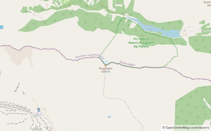
Map
Gallery
Facts and practical information
The Ringelspitz is a mountain of the Glarus Alps, located on the border between the Swiss cantons of St. Gallen and Graubünden. Reaching a height of 3,248 metres above sea level, it is the highest summit in the canton of St. Gallen. It is split between three municipalities: Pfäfers, Trin and Tamins. ()
Location
Graubünden
ContactAdd
Social media
Add
Day trips


