Gigerwaldsee
#589 among destinations in Switzerland


Facts and practical information
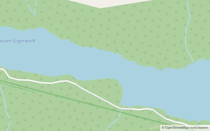
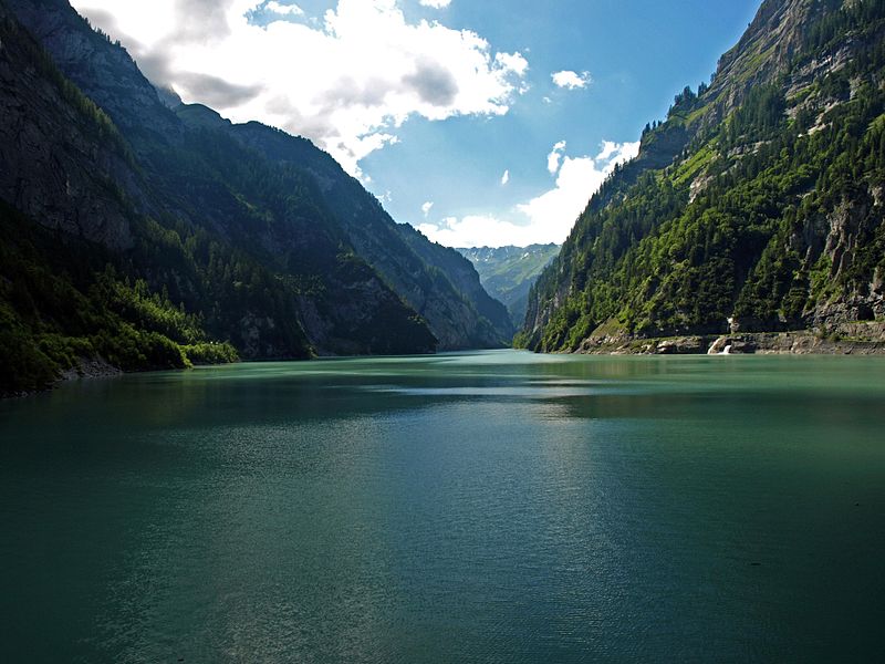
Gigerwaldsee is a reservoir in the municipality of Pfäfers, in the Canton of St. Gallen, Switzerland. The reservoir has a volume of 35.6 million m³ and a surface area of 71 ha. ()
Sankt GallenSwitzerland
Gigerwaldsee – popular in the area (distance from the attraction)
Nearby attractions include: Belmont, Calanda Mountain, Stausee Mapragg, Pizol.
 Forts and castles
Belmont
132 min walk • Belmont Castle is a ruined castle near Flims, Graubünden, Switzerland. It was the home of the Barons of Belmont.
 Nature, Natural attraction, Mountain
Calanda Mountain
110 min walk • The Calanda is a mountain in the Glarus Alps with two main peaks: Haldensteiner Calanda and Felsberger Calanda, both located on the border between the cantons of St. Gallen and Graubünden in eastern Switzerland. It looms over Chur, the capital city of Graubünden.
 Nature, Natural attraction, Lake
Stausee Mapragg
132 min walk • Stausee Mapragg is located at Pfäfers in the Canton of St. Gallen, Switzerland. Its surface area is 26 ha. The reservoir and Gigerwaldsee are operated by Kraftwerke Sarganserwald for pumped-storage hydroelectricity.
 Nature, Natural attraction, Mountain
Pizol
81 min walk • The Pizol is a mountain in the Glarus Alps of northeastern Switzerland, overlooking Wangs in the canton of St. Gallen. At 2,844 metres above sea level, it is the highest summit of the chain separating the valleys of the Seez and the Tamina rivers, and the highest mountain lying entirely within the canton of St.
 Nature, Natural attraction, Mountain
Piz Dolf
136 min walk • Piz Dolf or Trinserhorn is a mountain of the Glarus Alps, located on the border between the cantons of St. Gallen and Graubünden. Piz Sardona is to the north across a glacier, and to its west Piz Segnas. Both Piz Segnas and Piz Dolf show the line of the Glarus thrust in its upper part.
 Nature, Natural attraction, Mountain
Ringelspitz
51 min walk • The Ringelspitz is a mountain of the Glarus Alps, located on the border between the Swiss cantons of St. Gallen and Graubünden. Reaching a height of 3,248 metres above sea level, it is the highest summit in the canton of St. Gallen. It is split between three municipalities: Pfäfers, Trin and Tamins.
 Nature, Natural attraction, Lake
Schwarzsee
126 min walk • Schwarzsee is a mountain lake at an elevation of 2368 m on the Pizol mountain of the Glarus Alps.
 Nature, Natural attraction, Mountain
Sazmartinshorn
53 min walk • The Sazmartinshorn is a mountain of the Glarus Alps, overlooking St. Martin and the lake of Gigerwald in the canton of St. Gallen. It lies on the range east of Piz Sardona, that separates the Weisstannental from the Calfeisental. After the Pizol, the Sazmartinshorn is the second highest mountain lying entirely within the canton of St.
 Nature, Natural attraction, Mountain
Zanaihorn
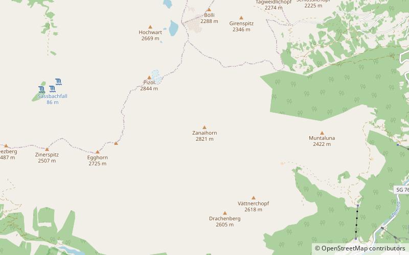
68 min walk • The Zanaihorn is a mountain of the Glarus Alps, located north of Vättis in the canton of St. Gallen. It lies on the range east of the Pizol, between the valleys of the Zanaibach and the Tersolbach.
 Nature, Natural attraction, Mountain
Fahnenstock
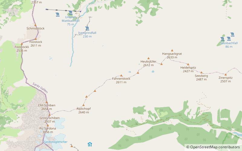
114 min walk • The Fahnenstock is a mountain of the Glarus Alps, located south of Weisstannen in the canton of St. Gallen.
 Church
Sankt Johannes Baptist, Domat/Ems
161 min walk • The listed Sogn Gion Church in Domat/Ems in the canton of Graubünden stands on the northern edge of the village on the right bank of the Rhine on the Tuma Turrera.
