Piz Segnas

Gallery (1)
Map
Map
Facts and practical information
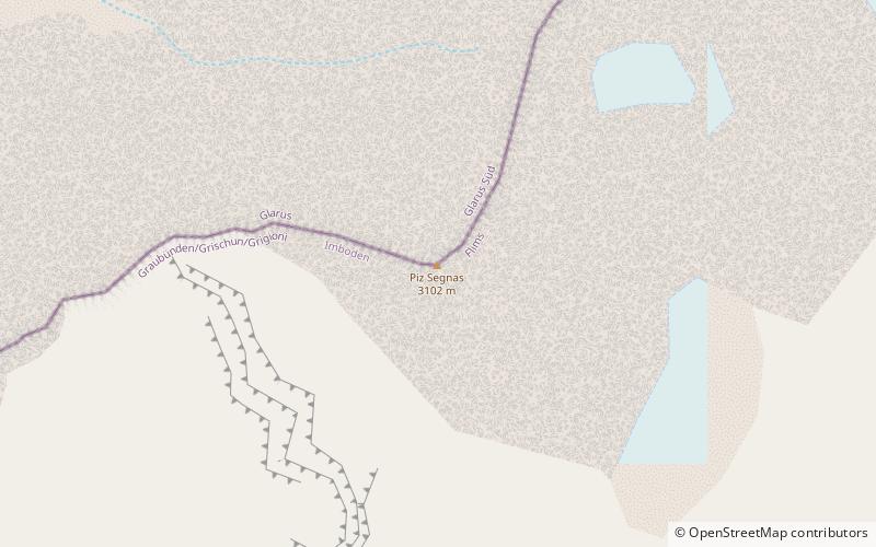
Piz Segnas is a mountain in the Glarus Alps, located on the border between the cantons of Glarus and Graubünden. Piz Sardona is on the same ridge to the north, from where the Trinserhorn or Piz Dolf lies to the southeast. The Tschingelhoerner with the famous Martinsloch lies to the west, with the Pass dil Segnas between the two mountains. ()
Day trips


