Mont Fort
Map

Map

Facts and practical information
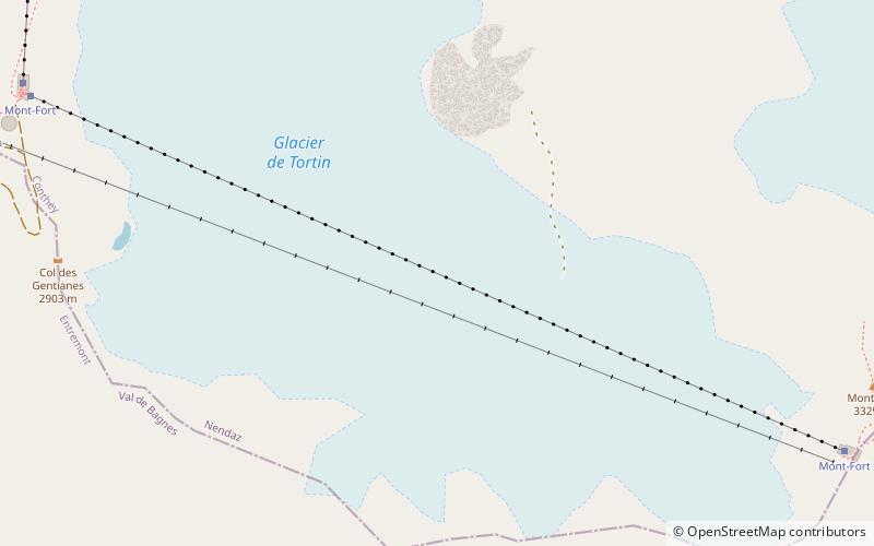
Mont Fort is a mountain of the Pennine Alps, located near Verbier in the Swiss canton of Valais. It lies on the range between the valleys of Bagnes and Nendaz, north of the Rosablanche. With a height of 3,328 metres above sea level, Mont Fort is the highest summit north of the Col de Louvie. ()
Location
Valais
ContactAdd
Social media
Add
Day trips
Mont Fort – popular in the area (distance from the attraction)
Nearby attractions include: Lac de Cleuson, Lac de Louvie, Lac de Tracouet, Grande Dixence Dam.


