Stadtgarten, Chur

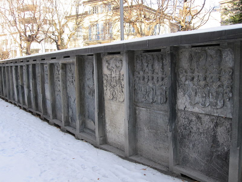
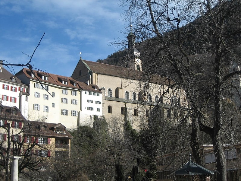
Gallery (3)
Map
Map
Gallery
Facts and practical information
The Stadtgarten in Chur, the capital of the canton of Graubünden, is a public park and public garden.
Elevation: 1936 ft a.s.l.Coordinates: 46°50'59"N, 9°31'47"E
Address
Graben StrasseChur
ContactAdd
Social media
Add
Getting there by public transportation
Public transportation stops near this location
- Bus
- Train
 Bus
Bus
- Calculate routeFontanaplatz 2 min walk
- Calculate routeMalteser 3 min walk
- Calculate routePostplatz 3 min walk
- Calculate routeChur Altstadt 4 min walk
- Calculate routeChur 7 min walk
- Calculate routeChur West 21 min walk
- Calculate routeChur Wiesental 22 min walk
Day trips
Stadtgarten – popular in the area (distance from the attraction)
Nearby attractions include: Cathedral of Saint Mary of the Assumption, Calanda Bräu, Rätisches Museum, Friedhof Daleu.


Frequently Asked Questions (FAQ)
Which popular attractions are close to Stadtgarten?
Nearby attractions include Fontanapark, Chur (2 min walk), Chur Arcas Schlagerparade, Chur (4 min walk), St. Martinsplatz, Chur (5 min walk), Bündner Kunstmuseum Chur, Chur (5 min walk).
How to get to Stadtgarten by public transport?
The nearest stations to Stadtgarten:
Bus
Train
Bus
- Fontanaplatz • Lines: 9 (2 min walk)
- Malteser • Lines: 1, 182, 41, 42, 81, 9 (3 min walk)
Train
- Chur Altstadt (4 min walk)
- Chur (7 min walk)