Jenaz
#2447 among destinations in Switzerland


Facts and practical information
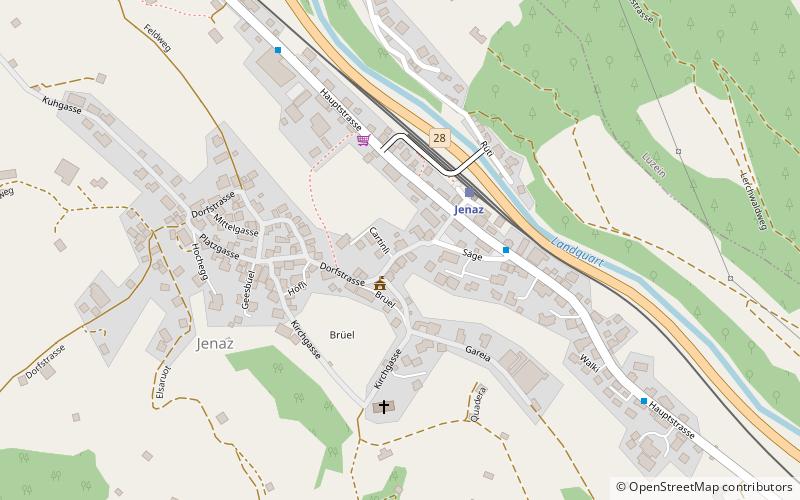
Jenaz is a Swiss village in the Prättigau and a municipality in the political district Prättigau/Davos Region in the canton of Graubünden. ()
Jenaz – popular in the area (distance from the attraction)
Nearby attractions include: Grüsch, Salginatobel Bridge, Solavers Castle, Fracstein Castle.
 Village, Winter sport, Ski area
Grüsch
121 min walk • Grüsch, Switzerland, nestled within the picturesque Prättigau valley, is a charming ski area that beckons winter sports enthusiasts from around the globe. With its pristine slopes and state-of-the-art facilities, Grüsch serves as an idyllic destination for skiers...
 Bridge
Salginatobel Bridge
94 min walk • Salginatobel Bridge is a reinforced concrete arch bridge designed by Swiss civil engineer Robert Maillart. It was constructed across an alpine ravine in the grisonian Prättigau, belonging to the municipality of Schiers, in Switzerland between 1929 and 1930.
 Forts and castles
Solavers Castle
130 min walk • Solavers Castle is a castle in the municipality of Seewis im Prättigau of the Canton of Graubünden in Switzerland.
 Forts and castles
Fracstein Castle
147 min walk • Fracstein Castle is a castle in the municipality of Seewis im Prättigau of the Canton of Graubünden in Switzerland. It is a Swiss heritage site of national significance.
 Forts and castles
Castels Castle
35 min walk • Castels Castle is a castle in the municipality of Luzein of the Canton of Graubünden in Switzerland. It is a Swiss heritage site of national significance.
 Nature, Natural attraction, Mountain
Casanna
182 min walk • The Casanna is a mountain of the Plessur Alps, overlooking Serneus and Klosters in the canton of Graubünden. It lies west of the Gotschnagrat, where a cable car station is located.
 Nature, Natural attraction, Mountain
Cunggel
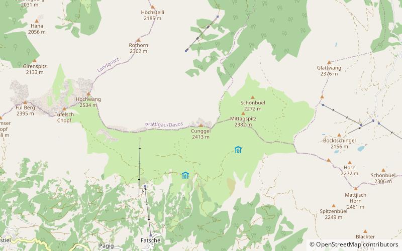
124 min walk • The Cunggel is a mountain of the Plessur Alps, overlooking St. Peter in the canton of Graubünden. It lies on the range between the valleys of Schanfigg and Prättigau at a height of 2,413 metres.
 Nature, Natural attraction, Mountain
Chrüz
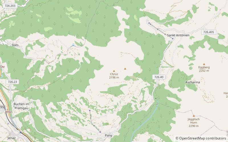
84 min walk • The Chrüz is a mountain in the Rätikon range of the Alps, located west of St. Antönien in the canton of Graubünden.
 Nature, Natural attraction, Mountain
Hochwang
142 min walk • The Hochwang is a mountain of the Plessur Alps, located between the valleys of Schanfigg and Prättigau in the canton of Graubünden. With a height of 2,534 metres above sea level, it is the highest summit of the chain lying west of Durannapass. Several trails lead to its summit. The closest locality is Castiel.
 Locality
St. Antönien
137 min walk • St. Antönien is a Swiss village in the Prättigau and a municipality in the political district of Prättigau/Davos in the canton of Graubünden. The municipalities of St. Antönien and St. Antönien Ascharina merged on 1 January 2007 into St. Antönien.
 Locality
Küblis
76 min walk • Küblis or Kublis is a Swiss village in the Prättigau and a municipality in the political district Prättigau/Davos Region in the canton of Graubünden.
