Salginatobel Bridge
Map
Gallery
Facts and practical information
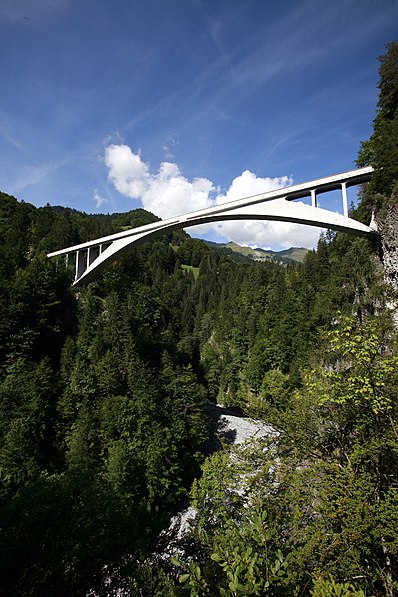
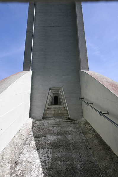
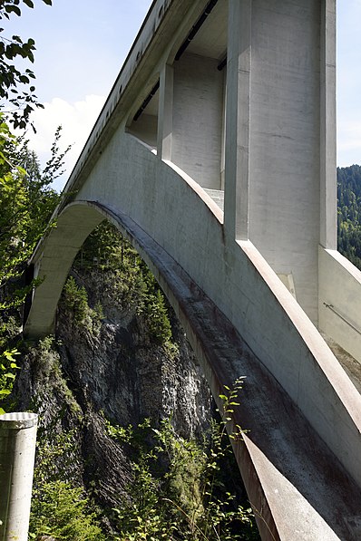
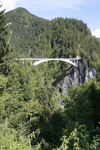
Salginatobel Bridge is a reinforced concrete arch bridge designed by Swiss civil engineer Robert Maillart. It was constructed across an alpine ravine in the grisonian Prättigau, belonging to the municipality of Schiers, in Switzerland between 1929 and 1930. In 1991, it was declared an International Historic Civil Engineering Landmark, the thirteenth such structure and the first concrete bridge so designated. ()
Local name: Salginatobelbrücke Opened: 1930 (96 years ago)Length: 436 ftWidth: 11 ftHeight: 295 ftCoordinates: 46°58'54"N, 9°43'6"E
Location
Graubünden
ContactAdd
Social media
Add
Day trips
Salginatobel Bridge – popular in the area (distance from the attraction)
Nearby attractions include: Grüsch, Schesaplana, Kirchlispitzen, Rätikon.


