Chrüz
#1202 among destinations in Switzerland

Facts and practical information
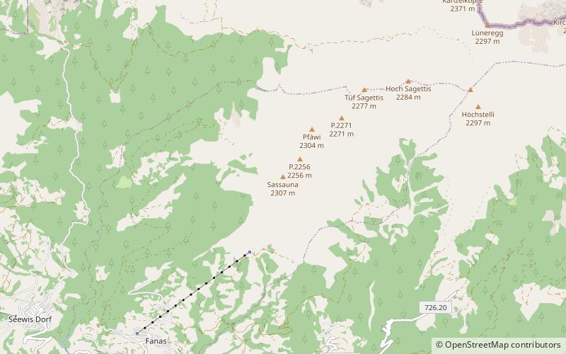
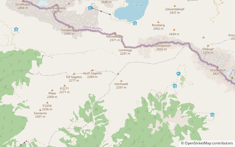
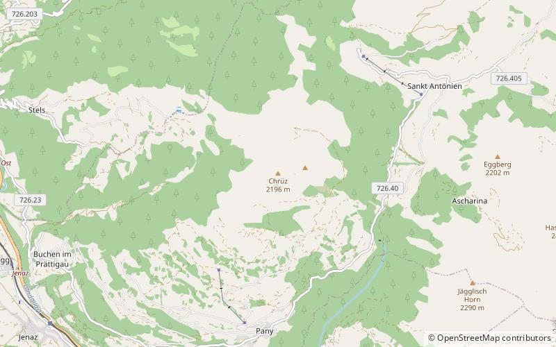
The Chrüz is a mountain in the Rätikon range of the Alps, located west of St. Antönien in the canton of Graubünden. ()
8898 FlumserbergGraubündenSwitzerland
Chrüz – popular in the area (distance from the attraction)
Nearby attractions include: Chalet Eugenia, Sulzfluh, Salginatobel Bridge, Madrisa.
6.7 miSE
Winter sport, Ski areaChalet Eugenia
170 min walk • Nestled in the heart of the Swiss Alps, Chalet Eugenia is an exquisite retreat for ski enthusiasts and luxury seekers alike. This iconic chalet, located in the prestigious ski area of Klosters, offers a blend of traditional alpine charm and modern luxury, making it a...
5 miNE
Nature, Natural attraction, MountainSulzfluh
128 min walk • The Sulzfluh is a mountain in the Rätikon range of the Alps, located on the border between Austria and Switzerland. The closest locality is St. Antönien, on the southern side. It is well known by climbers and has a Via ferrata on the southern, Swiss face, in Graubünden.
3.2 miNW
BridgeSalginatobel Bridge
83 min walk • Salginatobel Bridge is a reinforced concrete arch bridge designed by Swiss civil engineer Robert Maillart. It was constructed across an alpine ravine in the grisonian Prättigau, belonging to the municipality of Schiers, in Switzerland between 1929 and 1930.
4.9 miE
Nature, Natural attraction, MountainMadrisa
125 min walk • The Madrisa is a mountain in the Rätikon mountain range, overlooking Klosters in the Swiss canton of Graubünden. Its summit is located near the Austrian border.
5.4 miNW
Nature, Natural attraction, MountainSassauna
137 min walk • The Sassauna is a mountain in the Rätikon range of the Alps, overlooking Schiers in the Swiss canton of Graubünden.
2.5 miSW
Forts and castlesCastels Castle
65 min walk • Castels Castle is a castle in the municipality of Luzein of the Canton of Graubünden in Switzerland. It is a Swiss heritage site of national significance.
5.2 miN
Nature, Natural attraction, MountainGirenspitz
132 min walk • The Girenspitz is a mountain in the Rätikon range of the Alps, located north of Schiers in the Swiss canton of Graubünden. It is the culminating poing of the group lying between the valleys of the Taschinasbach and the Schraubach.
6.2 miSE
BridgeSunniberg Bridge
158 min walk • The Sunniberg Bridge is a curved multi-span extradosed road bridge with low outward-flaring pylons above the roadway edges, designed by the renowned Swiss engineer Christian Menn and completed 1998.
5.9 miNE
Nature, Natural attraction, MountainWiss Platte
151 min walk • The Wiss Platte is a mountain in the Rätikon range of the Alps, located on the border between Austria and Switzerland. It lies between Schruns and St. Antönien.
2.1 miNE
LocalitySt. Antönien
54 min walk • St. Antönien is a Swiss village in the Prättigau and a municipality in the political district of Prättigau/Davos in the canton of Graubünden. The municipalities of St. Antönien and St. Antönien Ascharina merged on 1 January 2007 into St. Antönien.
2.8 miS
LocalityKüblis
72 min walk • Küblis or Kublis is a Swiss village in the Prättigau and a municipality in the political district Prättigau/Davos Region in the canton of Graubünden.