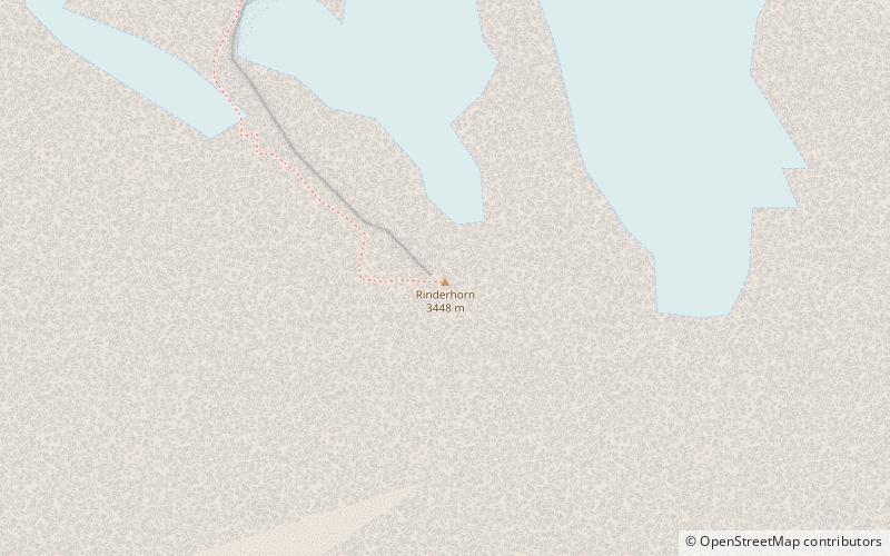
Rinderhorn
#912 among destinations in Switzerland
Facts and practical information
ValaisSwitzerland
Rinderhorn – popular in the area (distance from the attraction)
Nearby attractions include: Daubensee, Balmhorn, Daubenhorn, Torrenthorn.
1.7 miWNature, Natural attraction, LakeDaubensee
44 min walk • Nestled in the heart of the Swiss Alps, Daubensee, also known as Lake Dauben, is a serene mountain lake that offers a tranquil escape from the bustle of urban life. Situated at an elevation of approximately 2207 meters above sea level, this alpine gem is a popular...
2 miNEForested mountain with alpine hutsBalmhorn
52 min walk • The Balmhorn is a mountain in the Bernese Alps in Switzerland. Its summit ridge lies on the border between the cantons of Berne and the Valais.
3 miSWAlpine summit and via ferrataDaubenhorn
77 min walk • The Daubenhorn is a mountain in the Bernese Alps, located above the town of Leukerbad, Switzerland. The mountain has the longest via ferrata, or secured climbing route, in Switzerland.
2.8 miSENature, Natural attraction, MountainTorrenthorn
71 min walk • The Torrenthorn is a mountain of the Bernese Alps, overlooking Leukerbad in the canton of Valais. It lies south of the Majinghorn. In winter the Torrenthorn is part of a ski area.
1.6 miNEAlpine peak and skiing/mountaineering spotAltels
41 min walk • The Altels is a mountain of the Bernese Alps, located on the border between the Swiss cantons of Bern and Valais. It is situated in the Balmhorn massif, approximately halfway between Kandersteg and Leukerbad.
4.8 miEPeak with skiing and mountaineeringHockenhorn
123 min walk • The Hockenhorn is a mountain of the Bernese Alps, located on the border between the Swiss cantons of Bern and Valais. Its summit is 3,293 metres high and lies between the upper Kandertal and the Lötschental.
3.7 miNWBernese Alps summit with craggy towersTschingellochtighorn
94 min walk • The Tschingellochtighorn is a mountain of the Bernese Alps, located south of Adelboden in the Bernese Oberland. It overlooks the Engstligenalp on its western side.
3.4 miWNature, Natural attraction, MountainSteghorn
87 min walk • The Steghorn is a mountain of the Bernese Alps, located on the border between the Swiss cantons of Bern and Valais. It lies between the Engstligenalp. The Steghorn belongs to the massif of the Wildstrubel.
4.9 miSWNature, Natural attraction, MountainTrubelstock
126 min walk • The Trubelstock is a mountain of the Bernese Alps, overlooking the Rhone valley near Sierre in the canton of Valais. Its summit lies between the valleys of Les Outannes and Leukerbad, south of the Wildstrubel.
4.6 miSENature, Natural attraction, MountainNiwen
117 min walk • The Niwen is a mountain of the Bernese Alps, overlooking the Rhone in the upper canton of Valais. It lies in the massif that separates the valley of Leukerbad from the lower Lötschental and that culminates at the Ferdenrothorn.
5 miNWNature, Natural attraction, WaterfallEngstligen Falls, Adelboden
129 min walk • The Engstligen Falls near Adelboden in the Bernese Highlands consists of two waterfalls, Engstligen Fall I & II of heights of 97 metres, and 165 metres, respectively. They are listed in the Swiss Inventory of Landscapes of National Significance.