Planggenstock
#836 among destinations in Switzerland
![Planggenstock location map](https://tzmedia.b-cdn.net/media/images/static-maps/ch/47_1331_8_99373.jpg)
Facts and practical information
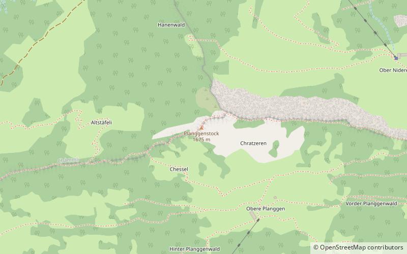
The Planggenstock is a mountain of the Schwyzer Alps, located south of Bilten in the canton of Glarus. It lies between the valley of the Linth and the valley of Niederurnen. ()
GlarusSwitzerland
Planggenstock plan & book
Unleash the traveler in you — discover the cheapest flight deals, find the perfect hotel or hostel nearby, and search for the best car rental prices. Travel at your own pace to discover new places and enjoy your journey.
Planggenstock – popular in the area (distance from the attraction)
Nearby attractions include: Wägitalersee, Obersee, Chüemettler, Rautispitz.
4.6 miSWNature, Natural attraction, LakeWägitalersee
118 min walk • Nestled in the heart of the Swiss Alps, Wägitalersee is a serene mountain lake that epitomizes the pristine beauty of Switzerland's natural landscapes. This idyllic lake is situated in the canton of Schwyz and is a hidden gem for outdoor enthusiasts and those seeking...
3.3 miSNature, Natural attraction, LakeObersee
86 min walk • Obersee is a lake on Oberseealp in the Canton of Glarus, Switzerland. Its surface area is 24 ha. There is a hotel on the lakeside which overlooks the lake and the Brünnelistock. During a cold and dry winter, there is a chance of black ice developing.
5.8 miNENature, Natural attraction, MountainChüemettler
148 min walk • The Chüemettler is a mountain of the Appenzell Alps, overlooking the Walensee in the canton of St. Gallen. It lies south of the Speer and southeast of the Federispitz mountains.
4.6 miSNature, Natural attraction, MountainRautispitz
117 min walk • The Rautispitz is a mountain of the Schwyzer Alps, overlooking Netstal in the canton of Glarus. It lies between the Obersee and the Klöntalersee and culminates at 2,283 metres above sea level.
5.1 miNENature, Natural attraction, MountainFederispitz
130 min walk • The Federispitz is a mountain of the Appenzell Alps, overlooking the Walensee in the canton of St. Gallen. It lies south of the Speer above the municipality of Schänis.
4 miSEChurchSt. Hilarius Parish Church of Näfels
102 min walk • St. Hilarius Parish Church of Näfels is a Catholic church in Näfels, Glarus Nord, Glarus Canton, Switzerland. It is listed as a Cultural Property of National Significance.
6.2 miNWNature, Natural attraction, MountainBuechberg
157 min walk • Buechberg is an elongated molasse hill in the Swiss cantons of Schwyz and St. Gallen on Obersee lakeshore.
7 miSENature, Natural attraction, MountainFronalpstock
179 min walk • The Fronalpstock is a mountain of the Glarus Alps, located east of Glarus in the canton of Glarus.
4.2 miSNature, Natural attraction, MountainZindlenspitz
108 min walk • The Zindlenspitz is a mountain of the Schwyzer Alps, located on the border between the Swiss cantons of Schwyz and Glarus. It lies on the range between the Wägitalersee and the Obersee, south of the Brünnelistock.
5.5 miWNature, Natural attraction, MountainGross Aubrig
140 min walk • The Gross Aubrig is a mountain of the Schwyzer Alps, overlooking the lake of Wägital in the canton of Schwyz. It lies north of the Fluebrig, on the range between the valley of the Sihl and the Wägital. Its child peak Chli Aubrig lies to the west.
3.3 miSWNature, Natural attraction, MountainSchiberg
86 min walk • The Schiberg is a mountain of the Schwyz Alps, located on the border between the Swiss cantons of Schwyz and Glarus. It overlooks the Wägitalersee on its west side.