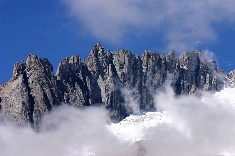
Gross Fusshorn

Gallery (2)
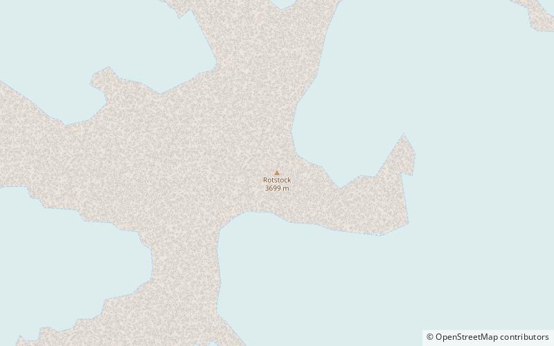
Map
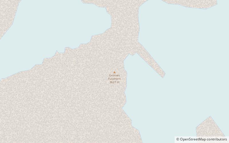
Map
Gallery
Facts and practical information
The Gross Fusshorn is a mountain of the Bernese Alps, overlooking the Oberaletsch Glacier in the canton of Valais. The Fusshörner are a group of peaks located on the south ridge of the Gross Fusshorn. On the east side lies a glacier named Driestgletscher. ()
Location
Valais
ContactAdd
Social media
Add
Day trips