Piz Lagrev
Map

Map

Facts and practical information
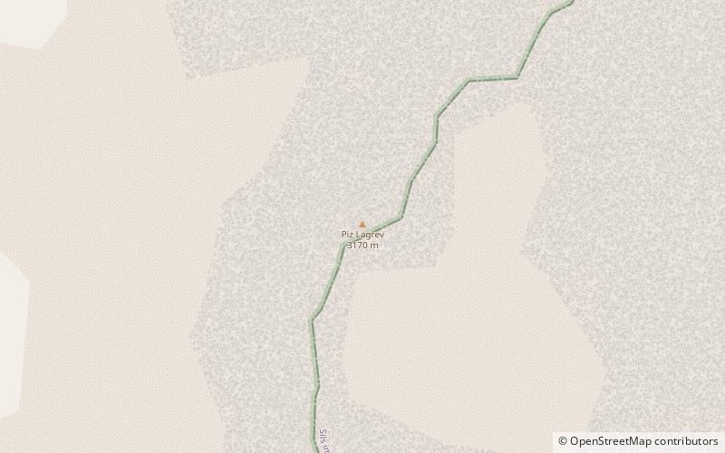
Piz Lagrev is a mountain of the Albula Alps, overlooking Lake Sils in the Swiss canton of Graubünden. On its northern side lies the Julier Pass. Reaching a height of 3,165 metres above sea level, Piz Lagrev is the culminating point of the range lying between the Septimer Pass and the Julier Pass. ()
Alternative names: First ascent: 1875Elevation: 10384 ftProminence: 2805 ftCoordinates: 46°26'45"N, 9°43'22"E
Location
Graubünden
ContactAdd
Social media
Add
Day trips
Piz Lagrev – popular in the area (distance from the attraction)
Nearby attractions include: Lake Sils, Lake Silvaplana, Lägh dal Lunghin, Via Alpina.


