Monte Moro
#312 among destinations in Switzerland


Facts and practical information
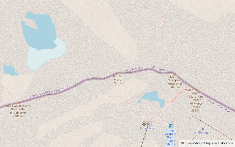
Monte Moro is a mountain of the Pennine Alps, located on the Swiss-Italian border. It lies west of the Monte Moro Pass. ()
Monte Moro – popular in the area (distance from the attraction)
Nearby attractions include: Dufourspitze, Britannia Hut, Mattmarksee, Allalinhorn.
 Large peak with a hike to scenic vistas
Dufourspitze
172 min walk • Dufourspitze, Switzerland's apex, crowns the majestic Monte Rosa Massif as the highest peak in the Swiss Alps and the second-highest in the entire Alps and Western Europe. Soaring to an impressive 4,634 meters (15,203 feet), this mountain commands respect...
 Alpine hut, Hiking
Britannia Hut
118 min walk • Nestled amidst the awe-inspiring peaks of the Swiss Alps, the Britannia Hut stands as a beacon for mountaineers and hikers traversing the vast alpine wilderness. This storied alpine hut, located at an elevation of 3,030 meters, is a popular base for those attempting...
 Nature, Natural attraction, Lake
Mattmarksee
71 min walk • Nestled amidst the majestic peaks of the Swiss Alps, Mattmarksee is a serene alpine lake that captivates visitors with its tranquil beauty. Located in the Saas Valley of the Canton of Valais, this reservoir plays a dual role as both a natural wonder and an important...
 4000m Alps peak with a moderate ascent
Allalinhorn
129 min walk • The Allalinhorn is a mountain in the Pennine Alps in Switzerland. It lies between Zermatt and Saas-Fee in the canton of Valais, and is part of the Mischabel range, which culminates at the Dom.
 Nature, Natural attraction, Mountain
Feechopf
142 min walk • The Feechopf is a mountain of the Swiss Pennine Alps, located near Saas Fee in the canton of Valais. It lies between the Alphubel and the Allalinhorn.
 Nature, Natural attraction, Mountain
Strahlhorn
93 min walk • The Strahlhorn is a mountain of the Swiss Pennine Alps, located south of Saas-Fee and east of Zermatt in the canton of Valais. It lies on the range that separates the Mattertal from the Saastal and is located approximately halfway between the Rimpfischhorn and the Schwarzberghorn.
 Nature, Natural attraction, Mountain
Rimpfischhorn
119 min walk • The Rimpfischhorn is a mountain in the Pennine Alps of Switzerland. The first ascent of the mountain was by Leslie Stephen and Robert Living with guides Melchior Anderegg and Johann Zumtaugwald on 9 September 1859. Their route of ascent was from Fluh Alp via the Rimpfischwänge.
 Nature, Natural attraction, Mountain
Dunantspitze
171 min walk • The Dunantspitze, formerly called Ostspitze, is a peak of the Monte Rosa Massif in the Pennine Alps in Switzerland. It is the second highest peak of the massif, after the Dufourspitze and the second highest summit in Switzerland, but its prominence is only about 15 metres.
 Nature, Natural attraction, Mountain
Stellihorn
73 min walk • The Stellihorn is a mountain of the Swiss Pennine Alps, overlooking the lake of Mattmark in the canton of Valais. It lies south of Saas-Almagell in the upper valley of Saas. The north side is covered by a glacier named Nollen Gletscher.
 Nature, Natural attraction, Mountain
Jägerhorn
145 min walk • The Jägerhorn is a mountain of the Pennine Alps, located on the border between Switzerland and Italy. It lies just north of Monte Rosa, at a height of 3,970 metres above sea level, and overlooks the village of Macugnaga on its east side, 2,600 metres below.
 Nature, Natural attraction, Mountain
Jazzihorn
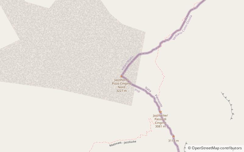
73 min walk • The Jazzihorn is a mountain of the Pennine Alps, located on the Swiss-Italian border. On the Italian side it is named Pizzo Cingino Nord as another summit is named Pizzo Cingino Sud on the south.
