Sassauna
#797 among destinations in Switzerland

Facts and practical information
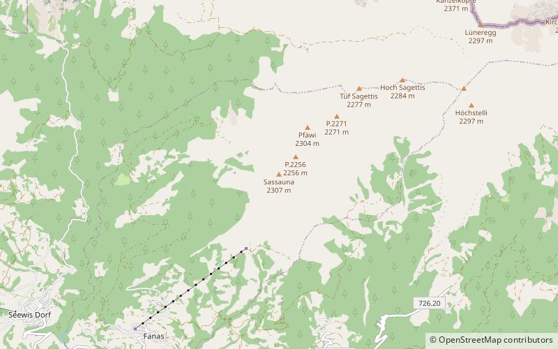
The Sassauna is a mountain in the Rätikon range of the Alps, overlooking Schiers in the Swiss canton of Graubünden. ()
Sassauna – popular in the area (distance from the attraction)
Nearby attractions include: Grüsch, Schesaplana, Salginatobel Bridge, Schloss Marschlins.
4.4 miSW
Village, Winter sport, Ski areaGrüsch
112 min walk • Grüsch, Switzerland, nestled within the picturesque Prättigau valley, is a charming ski area that beckons winter sports enthusiasts from around the globe. With its pristine slopes and state-of-the-art facilities, Grüsch serves as an idyllic destination for skiers...
2.9 miN
Nature, Natural attraction, MountainSchesaplana
75 min walk • Schesaplana, the Queen of the Rätikon mountain range, stands as a majestic peak dominating the natural border between Switzerland and Austria. This limestone giant, reaching an altitude of 2,964 meters, is not only the highest mountain in the Rätikon range but also a...
2.3 miSE
BridgeSalginatobel Bridge
59 min walk • Salginatobel Bridge is a reinforced concrete arch bridge designed by Swiss civil engineer Robert Maillart. It was constructed across an alpine ravine in the grisonian Prättigau, belonging to the municipality of Schiers, in Switzerland between 1929 and 1930.
6.6 miSW
Forts and castlesSchloss Marschlins
170 min walk • Marschlins Castle is a castle in the village of Igis of the municipality of Landquart of the Canton of Graubünden in Switzerland. It is a Swiss heritage site of national significance. Marschlins Castle was the childhood home of feminist Meta von Salis.
3.8 miNE
Nature, Natural attraction, MountainKirchlispitzen
98 min walk • The Kirchlispitzen is a mountain in the Rätikon range of the Alps, located on the border between Austria and Switzerland. It overlooks the Lünersee on its northern side.
2.9 miN
Natural feature, Nature, Natural attractionRätikon
75 min walk • The Rätikon is a mountain range of the Central Eastern Alps, located at the border between Vorarlberg, Liechtenstein and Graubünden. It is the geological border between the Eastern and Western Alps and stretches from the Montafon as far as the Rhine.
4.5 miW
Natural attraction, Park, TrailVilan, Malans
114 min walk • The Vilan is a mountain in the Rätikon range of the Alps, located north of Malans in the canton of Graubünden. It lies south of the Falknis, between the main Rhine valley and the Taschinas valley.
6.2 miNW
Nature, Natural attraction, MountainGrauspitz
158 min walk • The Grauspitz is a mountain in the Rätikon range of the Alps, located on the border between Liechtenstein and Switzerland. With an elevation of 2,599 metres above sea level, the Grauspitz is the highest mountain in Liechtenstein. It is also the highest summit of the Rätikon range west of the Schesaplana massif.
3.2 miSW
Forts and castlesSolavers Castle
82 min walk • Solavers Castle is a castle in the municipality of Seewis im Prättigau of the Canton of Graubünden in Switzerland.
5.7 miW
Forts and castlesKlingenhorn Castle
146 min walk • Klingenhorn Castle is a ruined castle in the municipality of Malans of the Canton of Graubünden in Switzerland.
5.4 miNW
Nature, Natural attraction, MountainNaafkopf
139 min walk • The Naafkopf is a mountain in the Rätikon range of the Alps, located at the border between Austria, Liechtenstein and Switzerland.