Hochfinsler
#1304 among destinations in Switzerland

Facts and practical information
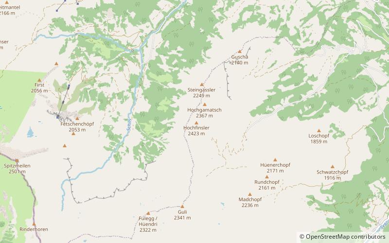
The Hochfinsler is a mountain of the Glarus Alps, located south of Flums in the canton of St. Gallen. It lies on the range north of the Wissgandstöckli, that separates the Schilstal from the Weisstannental. ()
Sankt GallenSwitzerland
Hochfinsler – popular in the area (distance from the attraction)
Nearby attractions include: Flums, Alvier Mountain, Spitzmeilen, Pizol.
 Winter sport, Ski area
Flums
97 min walk • Nestled in the heart of the Swiss Alps, Flums is a picturesque destination that beckons outdoor enthusiasts and winter sports aficionados alike. Renowned for its ski area, this charming town offers a serene escape with slopes that cater to both novice and experienced...
 Nature, Natural attraction, Mountain
Alvier Mountain
194 min walk • The Alvier is a mountain in the Appenzell Alps, located halfway between Lake Walenstadt and the Rhine in the canton of St. Gallen. It is one of the main summits of the chain separating the valleys of the river Seez and the Rhine. Although involving a long hike, the summit is easily accessible by trails from both sides.
 Nature, Natural attraction, Mountain
Spitzmeilen
77 min walk • The Spitzmeilen is a mountain of the Glarus Alps, lying on the border between the Swiss cantons of Glarus and St. Gallen. It lies between the valleys of Schilstal and Sernftal.
 Nature, Natural attraction, Mountain
Pizol
168 min walk • The Pizol is a mountain in the Glarus Alps of northeastern Switzerland, overlooking Wangs in the canton of St. Gallen. At 2,844 metres above sea level, it is the highest summit of the chain separating the valleys of the Seez and the Tamina rivers, and the highest mountain lying entirely within the canton of St.
 Nature, Natural attraction, Lake
Schwarzsee
146 min walk • Schwarzsee is a mountain lake at an elevation of 2368 m on the Pizol mountain of the Glarus Alps.
 Nature, Natural attraction, Lake
Chapfensee
97 min walk • Chapfensee is a reservoir at Mels, Canton of St. Gallen, Switzerland. The area around the reservoir is a nature preserve. The reservoir was built in 1946/1947 and used to generate power at the plant Plons.
 Nature, Natural attraction, Mountain
Magerrain
95 min walk • The Magerrain is a mountain of the Glarus Alps, located on the border between the cantons of Glarus and St. Gallen in Eastern Switzerland.
 Forts and castles
Gräpplang Castle
129 min walk • Gräpplang Castle is a castle in the municipality of Flums of the Canton of St. Gallen in Switzerland. It is a Swiss heritage site of national significance.
 Nature, Natural attraction, Valley
Seeztal
119 min walk • The Seeztal is a valley of the canton of St. Gallen, Switzerland, extending to the east of Lake Walen for some 10 km, formed by the river Seez. The valley appears to be a left branch off the Rhine valley at Sargans, but there is a divide at Mels. Situated in the Seeztal are the municipalities of Walenstadt, Flums and Mels.
 Locality
Quarten
150 min walk • Quarten is a municipality in the Wahlkreis of Sarganserland, in the canton of St. Gallen, Switzerland, above Lake Walensee. Besides Quarten itself, the municipality includes the settlements of Oberterzen, Unterterzen, Quinten, Mols, Murg, and parts of Tannenbodenalp.
 Nature, Natural attraction, Mountain
Foostock
151 min walk • The Foostock, also known as the Ruchen, is a mountain of the Glarus Alps, located on the border between the Swiss cantons of Glarus and St.