Alvier Mountain

Gallery (1)
Map
Map
Facts and practical information
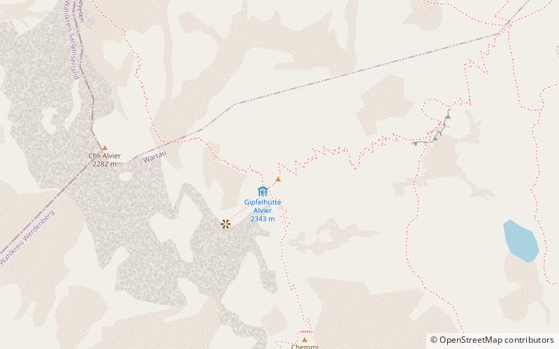
The Alvier is a mountain in the Appenzell Alps, located halfway between Lake Walenstadt and the Rhine in the canton of St. Gallen. It is one of the main summits of the chain separating the valleys of the river Seez and the Rhine. ()
Location
Sankt Gallen
ContactAdd
Social media
Add
Day trips


