Wartau Castle
#1230 among destinations in Switzerland


Facts and practical information
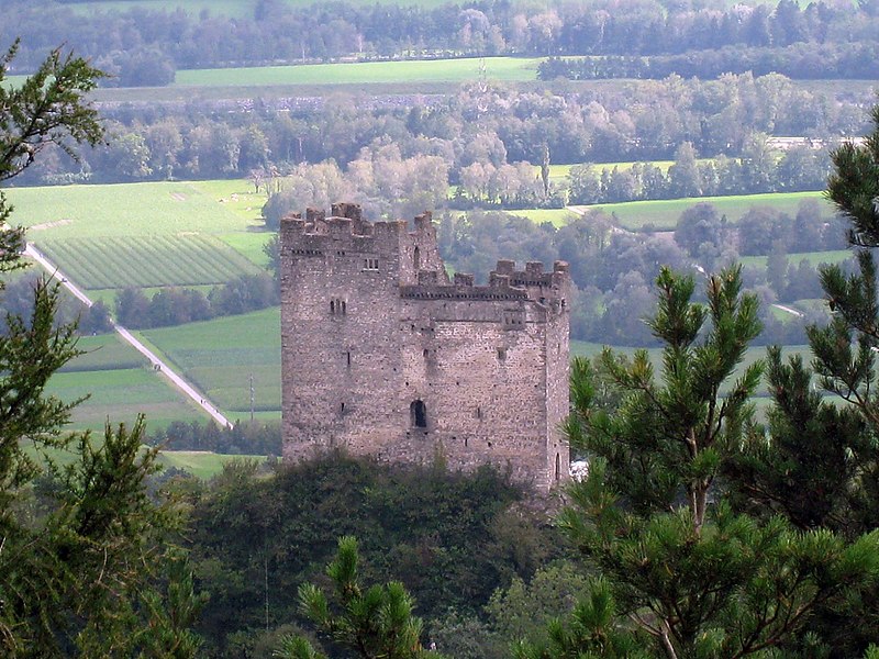
Wartau Castle is a ruined castle in the municipality of Wartau of the Canton of St. Gallen in Switzerland. It is a Swiss heritage site of national significance. ()
Sankt GallenSwitzerland
Wartau Castle – popular in the area (distance from the attraction)
Nearby attractions include: Werdenbergersee, Sparta Bouldering, Schloss Sargans, Pizol Center.
 Natural attraction, Body of water, Park
Werdenbergersee, Buchs
125 min walk • Werdenbergersee is a small lake in Buchs, below the town of Werdenberg, in the municipality of Grabs, Canton of St. Gallen, Switzerland.

 Forts and castles
Schloss Sargans, Sargans
107 min walk • Sargans Castle is a castle in the municipality of Sargans of the Canton of St. Gallen in Switzerland. It is a Swiss heritage site of national significance. The castle was the seat of the counts of Werdenberg-Sargans in the 13th century. Since 1899, it has been run by the local church and now houses the Sarganserland museum.

 Nature, Natural attraction, Mountain
Alvier Mountain
93 min walk • The Alvier is a mountain in the Appenzell Alps, located halfway between Lake Walenstadt and the Rhine in the canton of St. Gallen. It is one of the main summits of the chain separating the valleys of the river Seez and the Rhine. Although involving a long hike, the summit is easily accessible by trails from both sides.
 Peak with hiking and a cross at the summit
Gonzen
88 min walk • The Gonzen is a mountain of the Appenzell Alps, overlooking the Rhine Valley at Sargans, in the canton of St. Gallen. It lies at the southeastern end of the Alvier group. The summit of the Gonzen can be reached via a trail on the northern side.
 Nature, Natural attraction, Mountain
Falknis
123 min walk • The Falknis is a mountain in the Rätikon range of the Alps, located on the border between Liechtenstein and Switzerland. It is 8406 ft. at its highest peak. The nearest locality is Balzers.
 Nature, Natural attraction, Mountain
Fläscherberg
110 min walk • The Fläscherberg is a mountain of the Rätikon, overlooking the Rhine in the Swiss canton of Graubünden. The closest locality is Fläsch on the southern side of the mountain. At the northern foot of the mountain is the boder with Liechtenstein, and the town of Balzers.
 Nature, Natural attraction, Mountain
Mazorakopf
119 min walk • Mazorakopf or Falknishorn is a mountain on the border between Switzerland and Liechtenstein. It is the southernmost point of the principality of Liechtenstein.
 Nature, Natural attraction, Mountain
Fulfirst
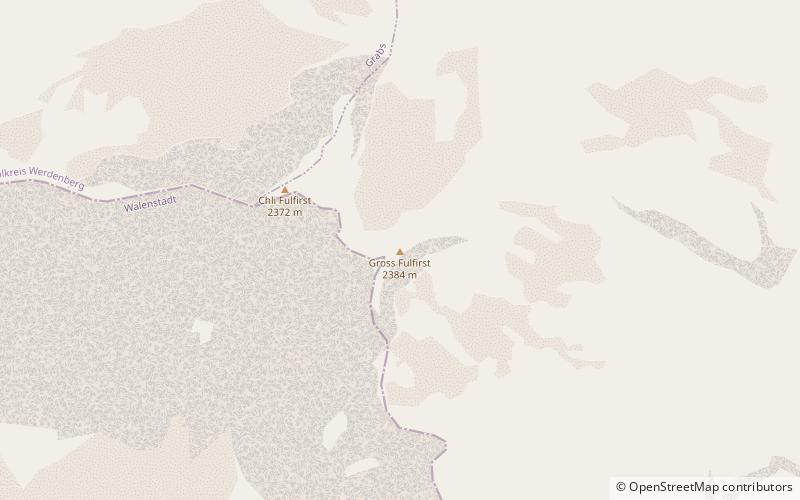
126 min walk • The Fulfirst is a mountain of the Appenzell Alps, located north of Flums in the canton of St. Gallen. It lies in the Alvier group, between the Walensee and the Rhine Valley. The Fulfirst has two summits: the Gross Fulfirst and the Chli Fulfirst.
 Nature, Natural attraction, Mountain
Gauschla
82 min walk • The Gauschla is a mountain of the Appenzell Alps, located north of Sargans in the canton of St. Gallen, Switzerland. It lies near the southern end of the range between the Walensee and the Rhine Valley, and one kilometre south-east of the Alvier.
