Torrone di Nav
#1585 among destinations in Switzerland
Facts and practical information
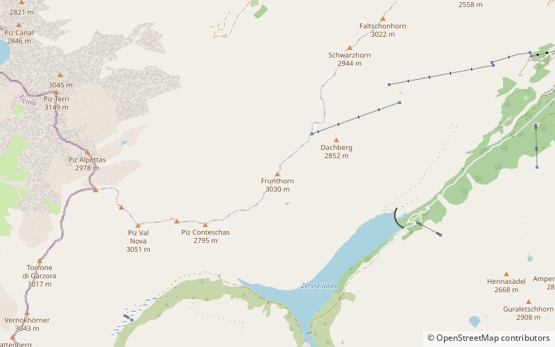
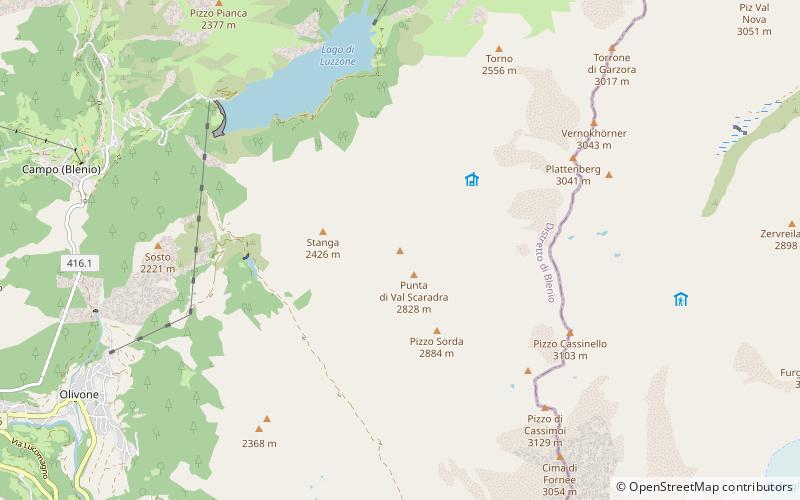
The Torrone di Nav is a mountain of the Swiss Lepontine Alps, located east of Olivone in the canton of Ticino. On its northern side it overlooks the lake of Luzzone. ()
TicinoSwitzerland
Torrone di Nav – popular in the area (distance from the attraction)
Nearby attractions include: Rheinwaldhorn, Lago di Luzzone, Piz Terri, Sosto.
4.3 miSERidged alp summit first climbed in 1789Rheinwaldhorn
111 min walk • The Rheinwaldhorn is the highest point in the Swiss canton of Ticino at 3,402 metres above sea level. It lies on the border between the cantons of Graubünden and Ticino, in the Adula massif, part of the St.
1.6 miNWNature, Natural attraction, LakeLago di Luzzone
42 min walk • Lago di Luzzone is a reservoir in Ticino, Switzerland. The reservoir has a volume of 108 million m³ and a surface area of 1.27 km². It is located in the upper Blenio valley, in the municipalities of Ghirone and Aquila. The reservoir lies at a height of 1,606 metres above sea...
4.1 miNENature, Natural attraction, MountainPiz Terri
105 min walk • Piz Terri is a mountain in the Lepontine Alps, located on the border between the cantons of Ticino and Graubünden. At 3,149 metres above sea level it is the highest summit lying on the chain between Greina and Soreda Pass.
2 miWNature, Natural attraction, MountainSosto
51 min walk • The Sosto is a mountain of the Swiss Lepontine Alps, overlooking Olivone in the canton of Ticino. It lies south of the lake of Luzzone and west of the Torrone di Nav.
5.3 miNENature, Natural attraction, MountainFrunthorn
134 min walk • The Frunthorn is a mountain of the Swiss Lepontine Alps, overlooking the Zervreilasee in the canton of Graubünden. It is located west of Vals, on the ridge between the Val Lumnezia and the Valsertal.
2.5 miNWNature, Natural attraction, MountainPizzo Pianca
64 min walk • Pizzo Pianca is a mountain of the Swiss Lepontine Alps, located north of Olivone in the canton of Ticino. On its southern side it overlooks the lake of Luzzone.
4.1 miSENature, Natural attraction, MountainGüferhorn
105 min walk • The Güferhorn is a mountain in the Lepontine Alps, located between the valleys of Vals and Hinterrhein in Graubünden. At 3,379 metres above sea level it is the highest summit of the Lepontine Alps lying east of the Rheinwaldhorn.
1.7 miSENature, Natural attraction, MountainPizzo di Cassimoi
45 min walk • Pizzo di Cassimoi is a mountain of the Lepontine Alps, located on the border between the Swiss cantons of Ticino and Graubünden. The mountain overlooks two lakes: Lago di Luzzone on its north-eastern side and Zervreilasee on its north-eastern side.
3.2 miENature, Natural attraction, MountainZervreilahorn
82 min walk • The Zervreilahorn is a mountain of the Swiss Lepontine Alps, located south of Vals in the canton of Graubünden. The mountain overlooks the Zervreilasee on the north.
3.5 miENature, Natural attraction, MountainFurggeltihorn
89 min walk • The Furggeltihorn is a mountain of the Lepontine Alps, overlooking the Zervreilasee in the canton of Graubünden.
1.6 miNENature, Natural attraction, MountainPlattenberg
41 min walk • The Plattenberg is a mountain of the Lepontine Alps, located on the border between the Swiss cantons of Ticino and Graubünden. It lies approximately halfway between the lakes of Luzzone and Zervreila.